UN/LOCODE hub · France
FRVTO
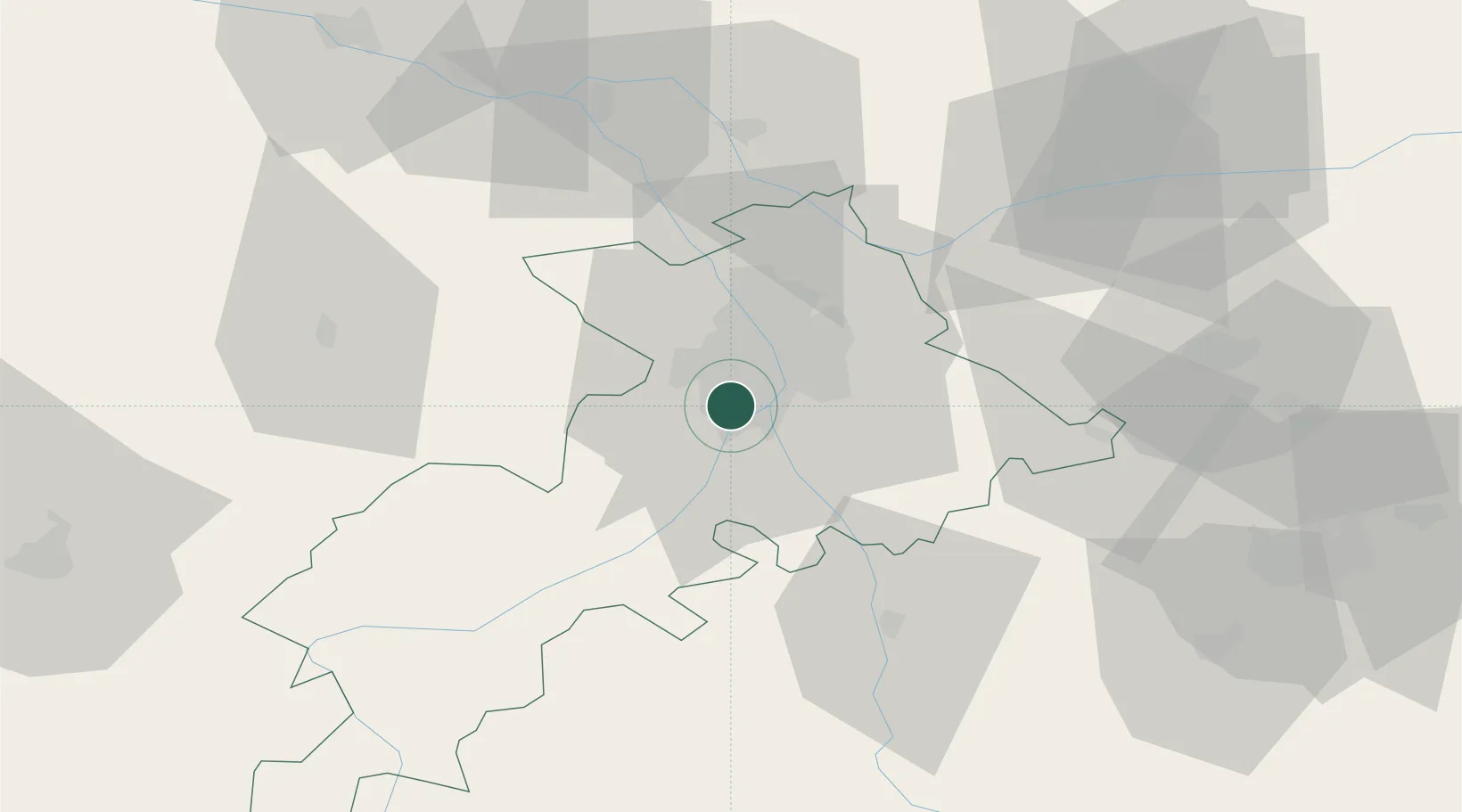
Villeneuve-Tolosane
43.5167°, 1.3333°
9,258
Population
2
Transport functions
Transport Functions
Road
Multimodal
Hub Profile
Place type
Populated place
Region
Occitanie
Population
9,258
Time zone
Europe/Paris
Elevation
173 m
Location
Nearby Logistics Neighbours
Cities
- 1Roques4 km
- 2Portet-Saint-Simon4 km
- 3Pins-Justaret6 km
- 4Lardenne8 km
- 5Clermont-le-Fort11 km
Ports
- 1Port-La-Nouvelle151 km
- 2Port-Vendres183 km
- 3Sete192 km
- 4Rosas205 km
- 5Bordeaux213 km
Airports
Trade Zones
- 1ZFU Toulouse13 km
- 2ZFU Béziers153 km
- 3ZFU Perpignan156 km
- 4ZFU Montpellier203 km
- 5ZFU Hauts de Garonne211 km
DatabookThe Record of Consolidated Knowledge
France beyond logistics?