Transport Functions
Rail
Road
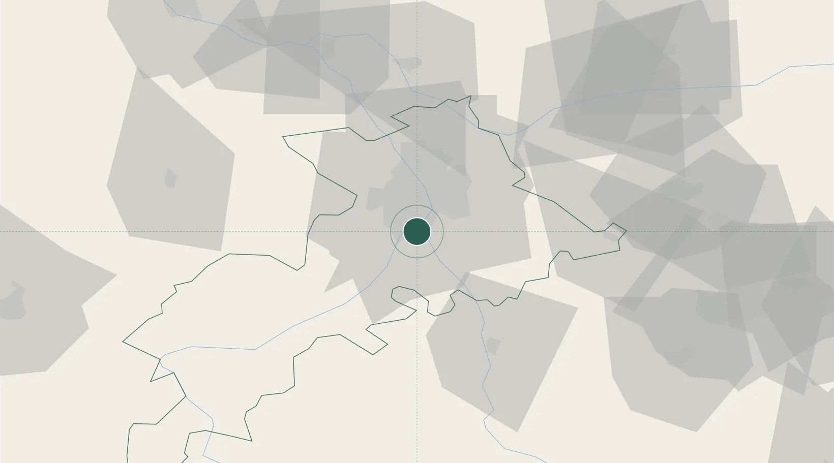
Hub Profile
Place type
Populated place
Region
Occitanie
Time zone
Europe/Paris
Elevation
163 m
Location
Nearby Logistics Neighbours
Cities
- 1Roques4 km
- 2Villeneuve-Tolosane6 km
- 3Clermont-le-Fort6 km
- 4Portet-Saint-Simon6 km
- 5Vernet6 km
Ports
- 1Port-La-Nouvelle146 km
- 2Port-Vendres177 km
- 3Sete187 km
- 4Rosas200 km
- 5Bordeaux219 km
Airports
Trade Zones
- 1ZFU Toulouse14 km
- 2ZFU Béziers149 km
- 3ZFU Perpignan150 km
- 4ZFU Montpellier199 km
- 5ZFU Hauts de Garonne216 km
DatabookThe Record of Consolidated Knowledge
France beyond logistics?