Transport Functions
Multimodal
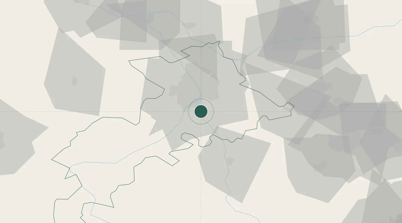
Hub Profile
Place type
Populated place
Region
Occitanie
Population
523
Time zone
Europe/Paris
Elevation
229 m
Location
Nearby Logistics Neighbours
Cities
- 1Vernet2 km
- 2Pins-Justaret6 km
- 3Roques8 km
- 4Pompertuzat9 km
- 5Deyme9 km
Ports
- 1Port-La-Nouvelle141 km
- 2Port-Vendres172 km
- 3Sete183 km
- 4Rosas194 km
- 5Bordeaux224 km
Airports
Trade Zones
- 1ZFU Toulouse17 km
- 2ZFU Béziers145 km
- 3ZFU Perpignan145 km
- 4ZFU Montpellier195 km
- 5ZFU Hauts de Garonne222 km
DatabookThe Record of Consolidated Knowledge
France beyond logistics?