Transport Functions
Road
Multimodal
Hub Profile
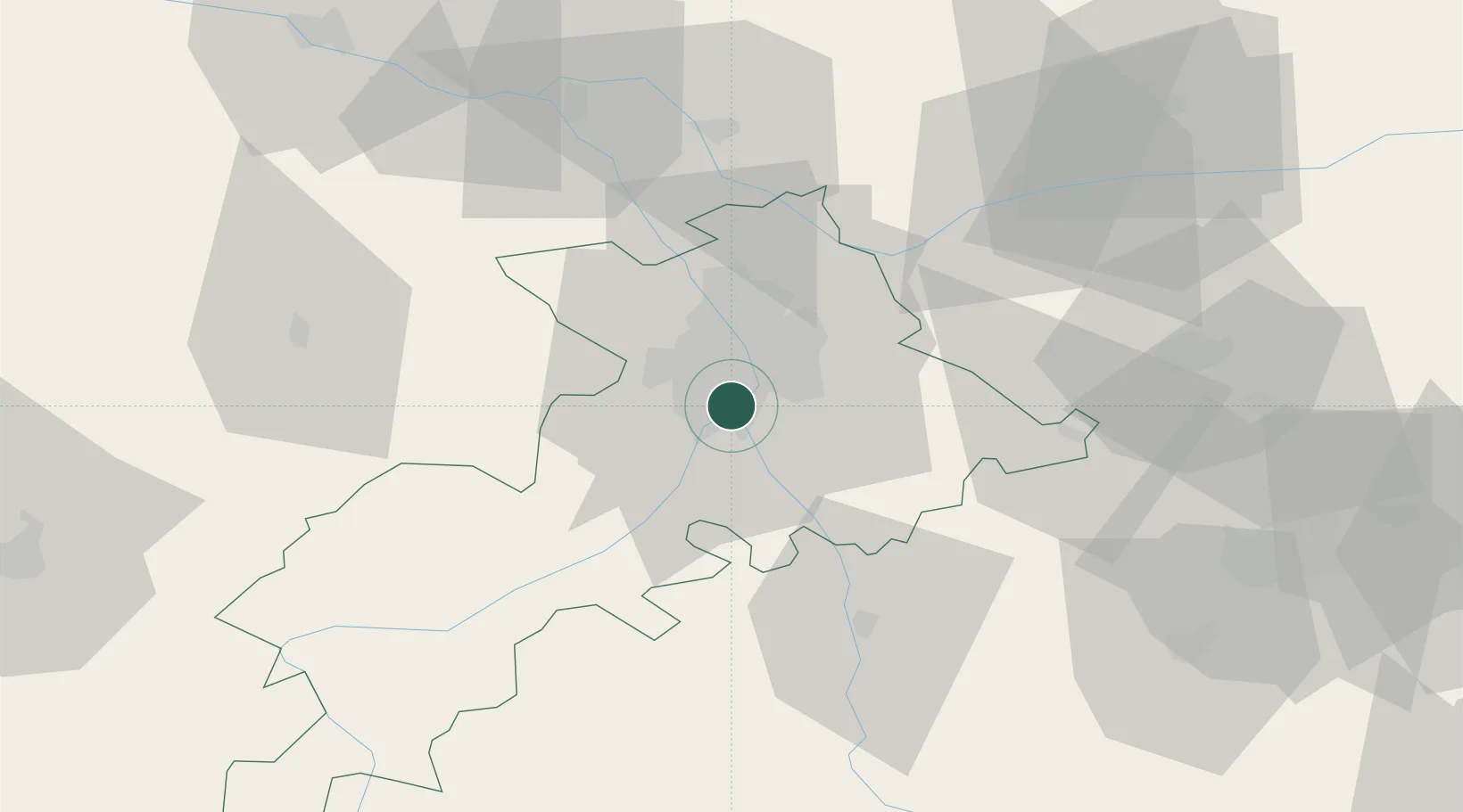
Place type
Populated place
Region
Occitanie
Population
5,436
Time zone
Europe/Paris
Elevation
157 m
Location
Nearby Logistics Neighbours
Cities
- 1Portet-Saint-Simon2 km
- 2Pins-Justaret4 km
- 3Villeneuve-Tolosane4 km
- 4Lardenne7 km
- 5Auzeville-Tolosane8 km
Ports
- 1Port-La-Nouvelle147 km
- 2Port-Vendres180 km
- 3Sete187 km
- 4Rosas202 km
- 5Bordeaux216 km
Airports
Trade Zones
- 1ZFU Toulouse11 km
- 2ZFU Béziers149 km
- 3ZFU Perpignan153 km
- 4ZFU Montpellier199 km
- 5ZFU Hauts de Garonne214 km
DatabookThe Record of Consolidated Knowledge
France beyond logistics?