Transport Functions
Road
Airport
Multimodal
Hub Profile
Region
28
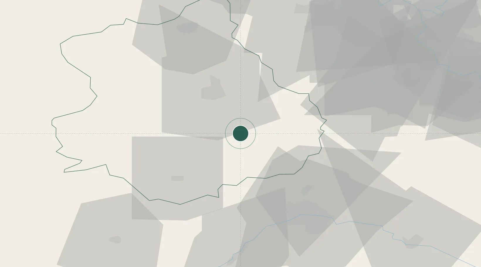
Location
Nearby Logistics Neighbours
Cities
- 1Fresnay-le-Comte11 km
- 2Orgères-en-Beauce14 km
- 3Francourville15 km
- 4Nogent-le-Phaye19 km
- 5Le Coudray19 km
Ports
- 1Port Of Rouen138 km
- 2Honfleur164 km
- 3Deauville166 km
- 4Port Of Le Havre174 km
- 5Port De Caen177 km
Airports
- 1Châteaudun Airfield29 km
- 2Orléans-Bricy (BA 123) Air Base33 km
- 3Toussus-le-Noble Airport65 km
- 4Vélizy-Villacoublay Air Base71 km
- 5Paris-Orly Airport76 km
Trade Zones
- 1ZFU Orléans47 km
- 2ZFU Dreux et Sainte-Gemme-Moronval57 km
- 3ZFU Trappes63 km
- 4ZFU Corbeil-Evry70 km
- 5ZFU Grigny Viry-Châtillon72 km
DatabookThe Record of Consolidated Knowledge
France beyond logistics?