Transport Functions
Multimodal
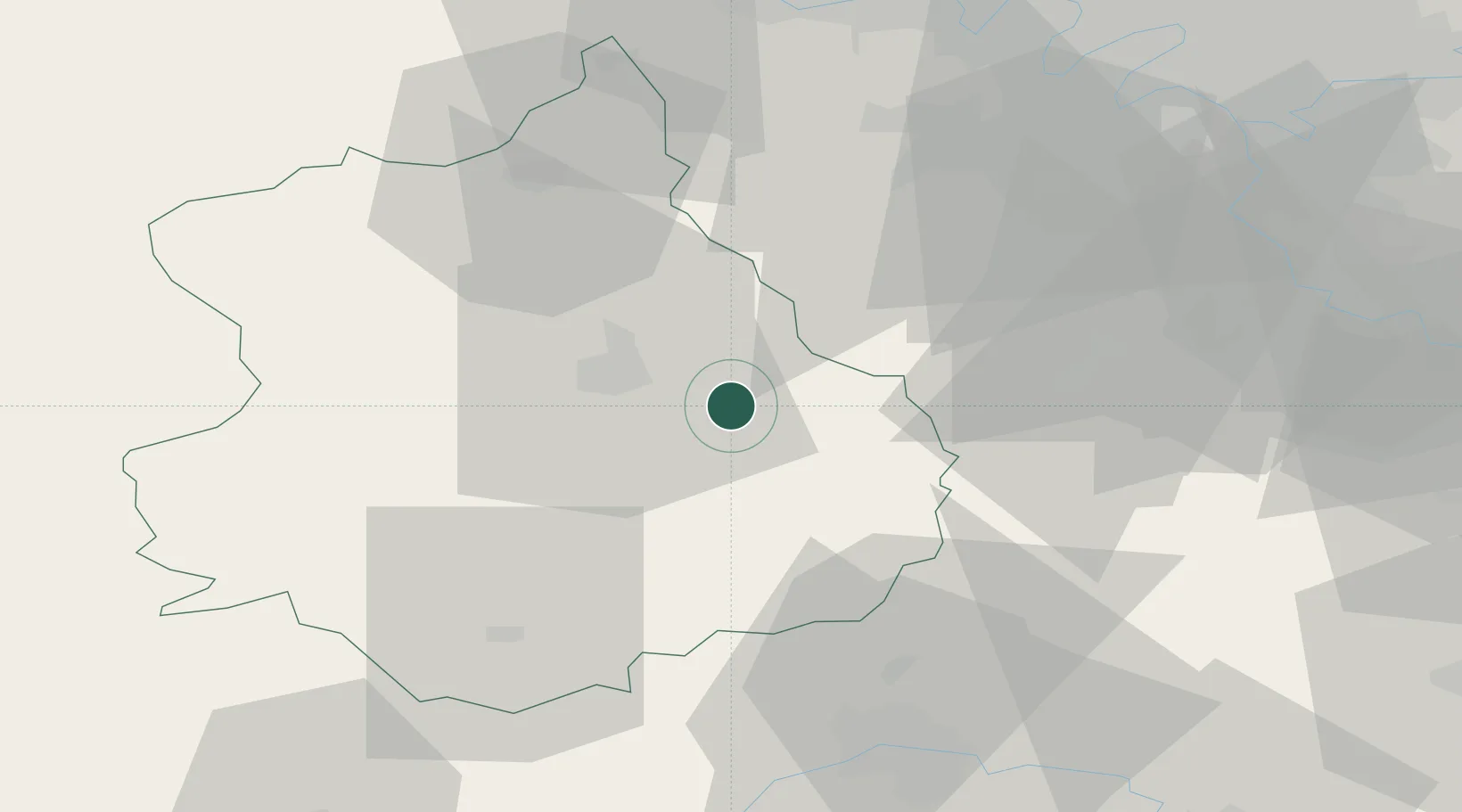
Hub Profile
Place type
Populated place
Region
Centre-Val de Loire
Population
802
Time zone
Europe/Paris
Elevation
151 m
Location
Nearby Logistics Neighbours
Cities
- 1Umpeau8 km
- 2Nogent-le-Phaye8 km
- 3Gasville-Oisème12 km
- 4Ymeray13 km
- 5Le Coudray14 km
Ports
- 1Port Of Rouen125 km
- 2Honfleur155 km
- 3Deauville158 km
- 4Port Of Le Havre165 km
- 5Ouistreham171 km
Airports
- 1Châteaudun Airfield44 km
- 2Orléans-Bricy (BA 123) Air Base46 km
- 3Toussus-le-Noble Airport51 km
- 4Vélizy-Villacoublay Air Base57 km
- 5Paris-Orly Airport64 km
Trade Zones
- 1ZFU Dreux et Sainte-Gemme-Moronval44 km
- 2ZFU Trappes48 km
- 3ZFU Orléans60 km
- 4ZFU Grigny Viry-Châtillon60 km
- 5ZFU Corbeil-Evry60 km
DatabookThe Record of Consolidated Knowledge
France beyond logistics?