Transport Functions
Multimodal
Hub Profile
Place type
Populated place
Region
Centre-Val de Loire
Population
3,045
Time zone
Europe/Paris
Elevation
141 m
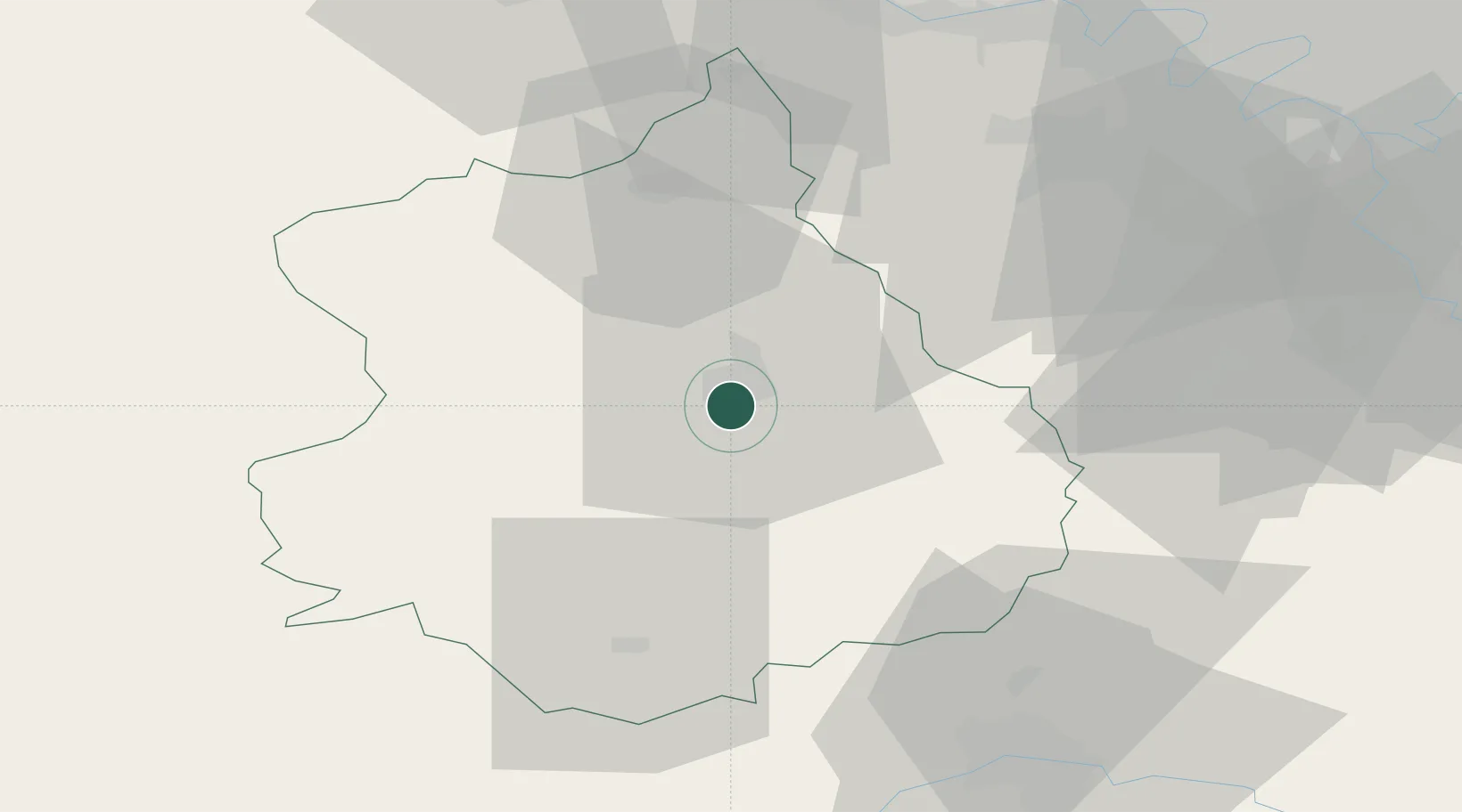
Location
Nearby Logistics Neighbours
Cities
- 1Chartres4 km
- 2Nogent-le-Phaye6 km
- 3Saint-Prest8 km
- 4Gasville-Oisème10 km
- 5Fresnay-le-Comte13 km
Ports
- 1Port Of Rouen119 km
- 2Honfleur145 km
- 3Deauville147 km
- 4Port Of Le Havre155 km
- 5Port De Caen159 km
Airports
Trade Zones
- 1ZFU Dreux et Sainte-Gemme-Moronval38 km
- 2ZFU Trappes55 km
- 3ZFU Mantes-la-Jolie66 km
- 4ZFU Orléans66 km
- 5ZFU Les Mureaux70 km
DatabookThe Record of Consolidated Knowledge
France beyond logistics?