Transport Functions
Multimodal
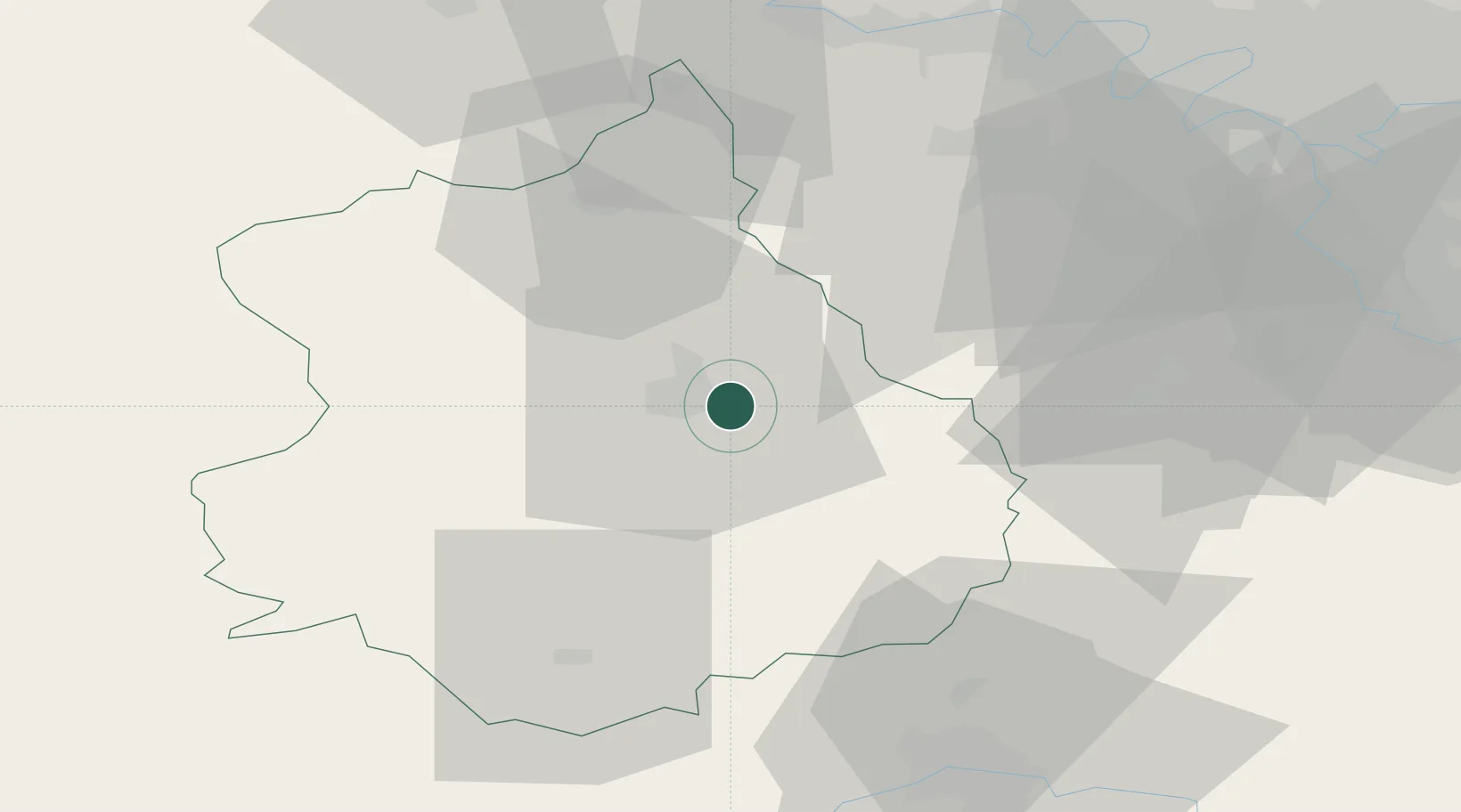
Hub Profile
Place type
Populated place
Region
Centre-Val de Loire
Population
1,247
Time zone
Europe/Paris
Elevation
141 m
Location
Nearby Logistics Neighbours
Cities
- 1Gasville-Oisème6 km
- 2Chartres6 km
- 3Le Coudray6 km
- 4Saint-Prest7 km
- 5Francourville8 km
Ports
- 1Port Of Rouen119 km
- 2Honfleur147 km
- 3Deauville150 km
- 4Port Of Le Havre158 km
- 5Ouistreham163 km
Airports
- 1Châteaudun Airfield44 km
- 2Orléans-Bricy (BA 123) Air Base52 km
- 3Toussus-le-Noble Airport53 km
- 4Vélizy-Villacoublay Air Base60 km
- 5Paris-Orly Airport68 km
Trade Zones
- 1ZFU Dreux et Sainte-Gemme-Moronval38 km
- 2ZFU Trappes50 km
- 3ZFU Mantes-la-Jolie63 km
- 4ZFU Grigny Viry-Châtillon65 km
- 5ZFU Orléans66 km
DatabookThe Record of Consolidated Knowledge
France beyond logistics?