Economic Revitalization Project · France
ZFU Trappes Active
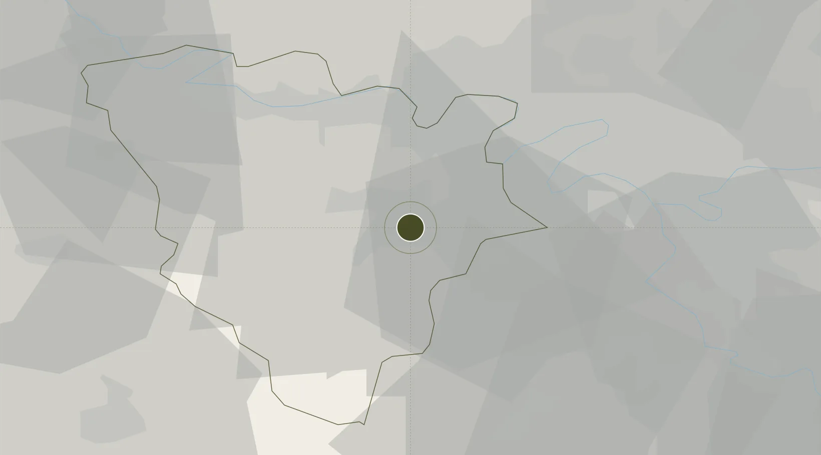
48.7758°, 1.9970°
157 ha
Zone area
101.0 km
Nearest port
8.4 km
Nearest airport
Gateway access
Zone profile
Zone type
Economic Revitalization Project
Region
Yvelines
Status
Active
Management
Public
Operator
Mairie de Trappes
Legal framework
Décret no 65-939 du 8 novembre 1965, Décret du 9 Octobre 2008
Location
Nearby Logistics Neighbours
Ports
- 1Port Of Rouen101 km
- 2Dieppe145 km
- 3Honfleur148 km
- 4Le Treport151 km
- 5Deauville154 km
Airports
Cities
- 1Saint-Quentin-en-Yvelines1 km
- 2Trappes2 km
- 3Bois-d'Arcy4 km
- 4Les Clayes-sous-Bois5 km
- 5Le Mesnil-Saint-Denis5 km
Trade Zones
- 1ZFU Sartrouville21 km
- 2ZFU Les Mureaux25 km
- 3ZFU Argenteuil26 km
- 4ZFU Vitry-sur-Seine28 km
- 5ZFU Epinay-sur-Seine30 km
DatabookThe Record of Consolidated Knowledge
France beyond logistics?