Transport Functions
Road
Multimodal
Hub Profile
Place type
Populated place
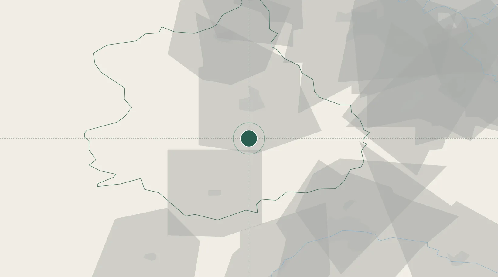
Region
Centre-Val de Loire
Population
333
Time zone
Europe/Paris
Elevation
152 m
Location
Nearby Logistics Neighbours
Cities
- 1Les Villages Voveens11 km
- 2Le Coudray13 km
- 3Nogent-le-Phaye16 km
- 4Chartres17 km
- 5Francourville18 km
Ports
- 1Port Of Rouen132 km
- 2Honfleur155 km
- 3Deauville157 km
- 4Port Of Le Havre165 km
- 5Port De Caen167 km
Airports
- 1Châteaudun Airfield28 km
- 2Orléans-Bricy (BA 123) Air Base40 km
- 3Toussus-le-Noble Airport68 km
- 4Vélizy-Villacoublay Air Base75 km
- 5Paris-Orly Airport81 km
Trade Zones
- 1ZFU Dreux et Sainte-Gemme-Moronval51 km
- 2ZFU Orléans54 km
- 3ZFU Trappes65 km
- 4ZFU Corbeil-Evry77 km
- 5ZFU Grigny Viry-Châtillon78 km
DatabookThe Record of Consolidated Knowledge
France beyond logistics?