Transport Functions
Road
Multimodal
Hub Profile
Place type
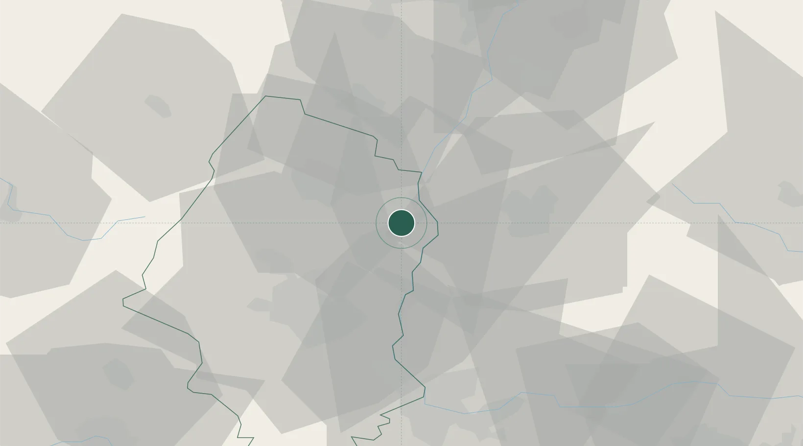
Populated place
Region
Grand Est
Population
2,435
Time zone
Europe/Paris
Elevation
191 m
Location
Nearby Logistics Neighbours
Cities
- 1Neuf-Brisach2 km
- 2Oberhergheim11 km
- 3Sainte-Croix-en-Plaine11 km
- 4Vogtsburg im Kaiserstuhl12 km
- 5Vogtsburg15 km
Ports
- 1Bruxelles393 km
- 2Genova415 km
- 3Savona416 km
- 4Rada Di Vado421 km
- 5Antwerpen423 km
Airports
- 1Colmar Houssen airport18 km
- 2EuroAirport Basel–Mulhouse–Freiburg44 km
- 3Lahr Airport47 km
- 4Strasbourg Airport60 km
- 5Donaueschingen-Villingen Airfield74 km
Trade Zones
- 1ZFU Mulhouse32 km
- 2ZFU Neuhof63 km
- 3ZFU Belfort67 km
- 4ZFU Hautepierre67 km
- 5ZFU Montbéliard78 km
DatabookThe Record of Consolidated Knowledge
France beyond logistics?