Seaport · Italy
Rada Di VadoITVDL
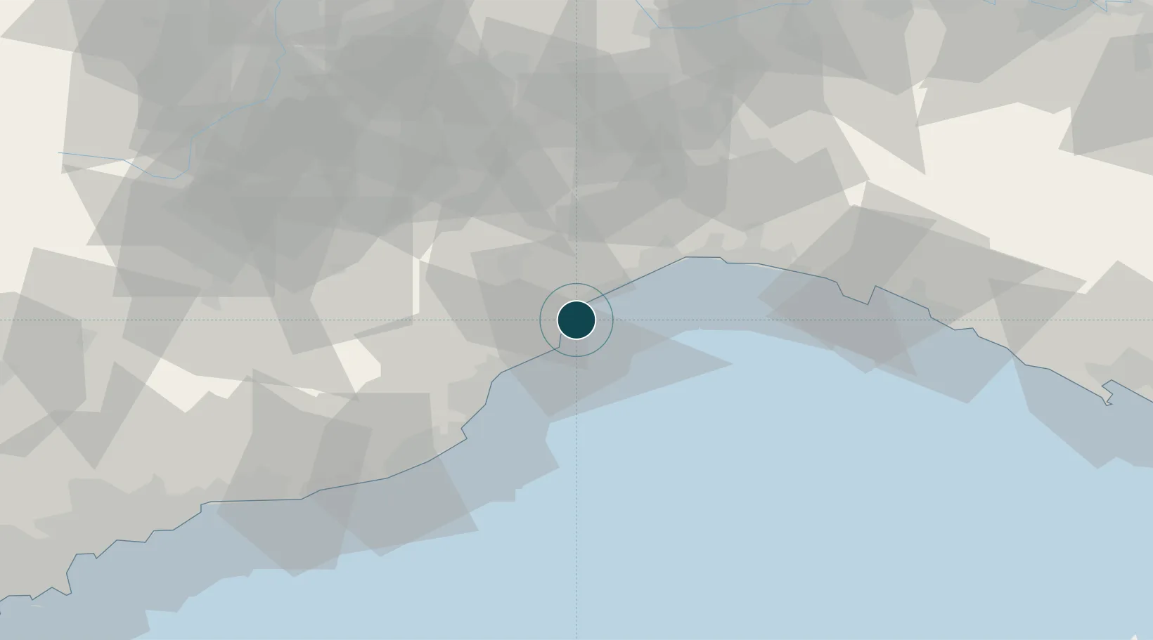
44.2650°, 8.4530°
9.4 m
Channel depth
2
Container terminals
117.8
Port liner connectivity
Channel & Berth Profile
Pilotage, Tugs & Services
Pilotage compulsoryYES
Pilotage availableYES
Pilotage advisableYES
Local assistanceYES
Tug assistanceYES
Shore powerYES
Potable waterYES
Diesel bunkersYES
MedicalYES
Facilities & Capabilities
Container—
Ro-Ro—
Liquid bulk—
Dry bulk—
Oil terminal—
Break bulk—
Dry dock—
RepairsNO
BunkeringYES
Rail linkYES
Dangerous cargo—
ISPS security—
Harbour Specifications
Harbour size
Medium
Harbour type
Open Roadstead
Shelter
Good
Water body
Ligurian Sea; Mediterranean Sea; North Atlantic Ocean
Pilotage
Yes
Liner Connectivity
117.8
PLSCI
Port Liner Shipping Connectivity Index for Rada Di Vado, as published by UNCTAD for the latest available quarter. Higher values indicate stronger scheduled liner-shipping integration.
Shown relative to the highest per-port PLSCI in the dataset (1,657.9).
Location
Container Terminals · 2
VADO REEFER TERMINAL
REEF REEFER TERMINAL S.P.A
VADO GATEWAY TERMINAL
VGT APM TERMINALS VADO LIGURE S.P.A
Nearby Logistics Neighbours
Ports
- 1Savona7 km
- 2Genova40 km
- 3Imperia54 km
- 4Chiavari - Lavagna70 km
- 5San Remo73 km
Airports
Trade Zones
- 1ZFU LAriane110 km
- 2Magazzini Generali Con Chiasso180 km
- 3Aosta Valley208 km
- 4ZFU Toulon239 km
- 5ZFU Grenoble242 km
DatabookThe Record of Consolidated Knowledge
Italy beyond logistics?