Transport Functions
Rail
Road
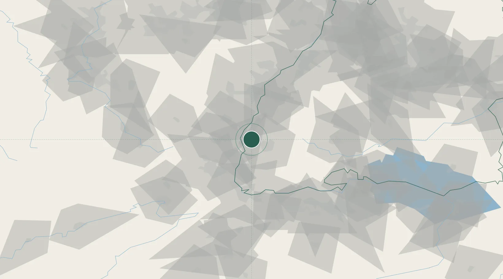
Hub Profile
Place type
Populated place
Region
Baden-Wurttemberg
Population
5,686
Time zone
Europe/Berlin
Elevation
302 m
Location
Nearby Logistics Neighbours
Cities
- 1Vogtsburg im Kaiserstuhl4 km
- 2Bahlingen Am Kaiserstuhl5 km
- 3Bahlingen5 km
- 4Endingen6 km
- 5Neuf-Brisach13 km
Ports
- 1Bruxelles392 km
- 2Genova421 km
- 3Antwerpen421 km
- 4Savona424 km
- 5Rada Di Vado429 km
Airports
- 1Colmar Houssen airport24 km
- 2Lahr Airport34 km
- 3Strasbourg Airport51 km
- 4EuroAirport Basel–Mulhouse–Freiburg55 km
- 5Donaueschingen-Villingen Airfield64 km
Trade Zones
- 1ZFU Mulhouse45 km
- 2ZFU Neuhof51 km
- 3ZFU Hautepierre57 km
- 4ZFU Belfort82 km
- 5ZFU Montbéliard93 km
DatabookThe Record of Consolidated Knowledge
Germany beyond logistics?