UN/LOCODE hub · Germany
DEVOG

Vogtsburg im Kaiserstuhl

48.0833°, 7.6333°
2
Transport functions

Transport Functions

Rail
Road
UN/LOCODE

Hub Profile

Region
BW
GeoNames

Location

Location of DEVOG
Natural Earth 10m (public domain) · BW · DEVOG · 48.08, 7.63GoogleOSMYandex

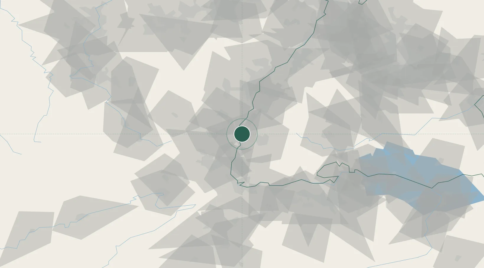
Nearby Logistics Neighbours

Cities
  1. 1Vogtsburg4 km
  2. 2Endingen7 km
  3. 3Bahlingen Am Kaiserstuhl8 km
  4. 4Bahlingen8 km
  5. 5Neuf-Brisach11 km
Nearest neighbours — logibook spatial index (haversine) over the source coordinates
Ports
  1. 1Bruxelles390 km
  2. 2Antwerpen419 km
  3. 3Genova422 km
  4. 4Savona424 km
  5. 5Rada Di Vado429 km
Nearest neighbours — logibook spatial index (haversine) over the source coordinates
Airports
  1. 1Colmar Houssen airport21 km
  2. 2Lahr Airport35 km
  3. 3Strasbourg Airport51 km
  4. 4EuroAirport Basel–Mulhouse–Freiburg54 km
  5. 5Donaueschingen-Villingen Airfield67 km
Nearest neighbours — logibook spatial index (haversine) over the source coordinates
Trade Zones
  1. 1ZFU Mulhouse43 km
  2. 2ZFU Neuhof52 km
  3. 3ZFU Hautepierre57 km
  4. 4ZFU Belfort79 km
  5. 5ZFU Montbéliard90 km
Nearest neighbours — logibook spatial index (haversine) over the source coordinates
DatabookThe Record of Consolidated Knowledge
Germany beyond logistics?
Browse databook

All Sources

LocationsUN/LOCODE
UN/LOCODE — free
Portsthe NGA World Port Index
Public domain (US gov)
AirportsOurAirports
Public domain
Trade Zonesthe World Bank SEZ database
CC BY 4.0
Trade ZonesOpen Zone Map
CC BY
← Germany locations