UN/LOCODE hub · France
FROIX
Sainte-Croix-en-Plaine
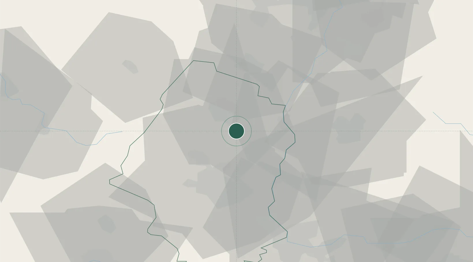
48.0167°, 7.3833°
2,416
Population
2
Transport functions
Transport Functions
Rail
Road
Hub Profile
Place type
Populated place
Region
Grand Est
Population
2,416
Time zone
Europe/Paris
Elevation
197 m
Location
Nearby Logistics Neighbours
Cities
- 1Herrlisheim-près-Colmar5 km
- 2Oberhergheim6 km
- 3Hattstatt6 km
- 4Obermorschwihr6 km
- 5Vgtlinshoffen7 km
Ports
- 1Bruxelles385 km
- 2Antwerpen416 km
- 3Genova419 km
- 4Savona420 km
- 5Rada Di Vado425 km
Airports
- 1Colmar Houssen airport11 km
- 2EuroAirport Basel–Mulhouse–Freiburg47 km
- 3Lahr Airport51 km
- 4Strasbourg Airport61 km
- 5Montbéliard-Courcelles Airfield74 km
Trade Zones
- 1ZFU Mulhouse30 km
- 2ZFU Belfort60 km
- 3ZFU Neuhof65 km
- 4ZFU Hautepierre68 km
- 5ZFU Montbéliard72 km
DatabookThe Record of Consolidated Knowledge
France beyond logistics?