Transport Functions
Road
Multimodal
Hub Profile
Place type
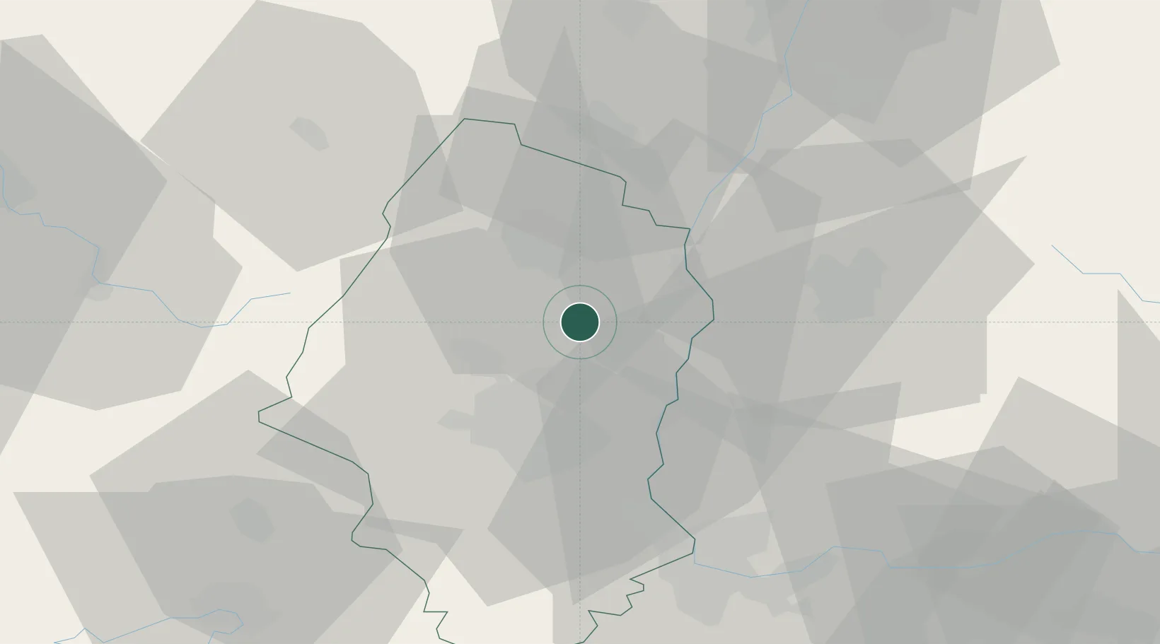
Populated place
Region
Grand Est
Population
1,149
Time zone
Europe/Paris
Elevation
201 m
Location
Nearby Logistics Neighbours
Cities
- 1Sainte-Croix-en-Plaine6 km
- 2Herrlisheim-près-Colmar8 km
- 3Hattstatt9 km
- 4Obermorschwihr9 km
- 5Gueberschwihr9 km
Ports
- 1Bruxelles391 km
- 2Genova414 km
- 3Savona415 km
- 4Rada Di Vado420 km
- 5Antwerpen421 km
Airports
- 1Colmar Houssen airport16 km
- 2EuroAirport Basel–Mulhouse–Freiburg42 km
- 3Lahr Airport55 km
- 4Strasbourg Airport66 km
- 5Montbéliard-Courcelles Airfield70 km
Trade Zones
- 1ZFU Mulhouse25 km
- 2ZFU Belfort57 km
- 3ZFU Montbéliard69 km
- 4ZFU Neuhof69 km
- 5ZFU Hautepierre73 km
DatabookThe Record of Consolidated Knowledge
France beyond logistics?