Large airport · France
EuroAirport Basel–Mulhouse–FreiburgLFSB
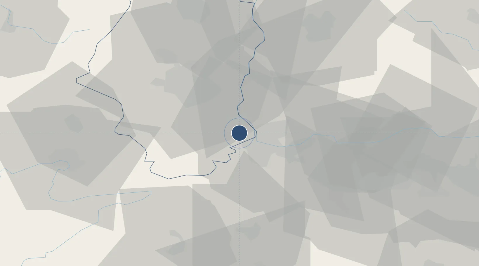
47.6007°, 7.5211°
12,795 ft
Longest runway
2
Runways
885 ft
Elevation
Runway & Layout

Radio Frequencies
ATIS
127.875 MHz
TWR
118.3 MHz
GND
121.6 MHz
A/D
118.575 MHz
APP
INFO
121.25 MHz
PFLT
120.5 MHz
PREFLIGHT
Navaids
BLM VOR-DME Bale Mulhouse 117.45 MHz
BN NDB Bale Mulhouse 353 kHz
Runways · 2
| Runway | Dimensions | Surface | True heading | Lit |
|---|---|---|---|---|
| 15/33 | 12,795 × 197ft | Concrete | 155° | ✓ |
| 07/25 | 5,626 × 197ft | Concrete | 077° | ✓ |
Airport Specifications
IATA code
BSL
ICAO code
LFSB
Airport class
Large airport
Scheduled service
Yes
Runway surface
Concrete
Served city
Bâle / Mulhouse
Location
Nearby Logistics Neighbours
Airports
- 1Grenchen Airfield47 km
- 2Montbéliard-Courcelles Airfield56 km
- 3Colmar Houssen airport58 km
- 4Bern Airport77 km
- 5Zürich Airport79 km
Cities
- 1Hésingue2 km
- 2Village-Neuf3 km
- 3Saint-Louis4 km
- 4Huningue5 km
- 5Weil am Rhein6 km
Ports
- 1Genova372 km
- 2Savona373 km
- 3Rada Di Vado378 km
- 4Chiavari - Lavagna392 km
- 5Imperia415 km
Trade Zones
- 1ZFU Mulhouse22 km
- 2ZFU Belfort54 km
- 3ZFU Montbéliard56 km
- 4ZFU Neuhof106 km
- 5ZFU Hautepierre111 km
DatabookThe Record of Consolidated Knowledge
France beyond logistics?