Transport Functions
Rail
Road
Hub Profile
Place type
Populated place
Region
Brittany
Population
3,426
Time zone
Europe/Paris
Elevation
84 m
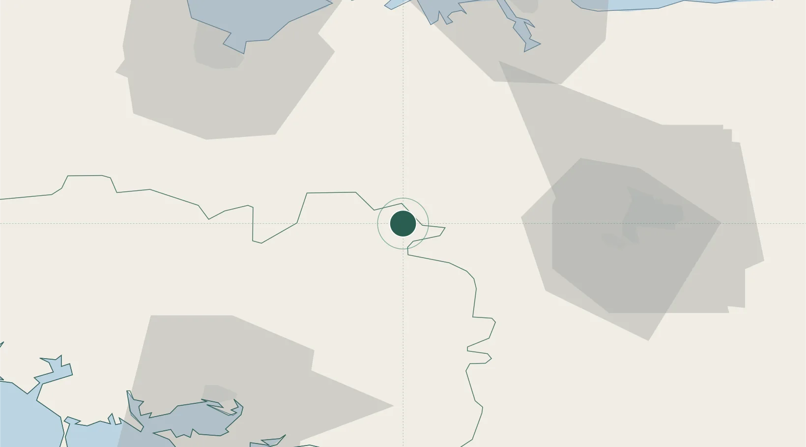
Location
Nearby Logistics Neighbours
Cities
- 1Plélan-le-Grand17 km
- 2Lanrelas19 km
- 3La Croix-Helléan22 km
- 4Saint-M'Hervon24 km
- 5Montfort-sur-Meu24 km
Ports
- 1Le Legue61 km
- 2Saint-Malo66 km
- 3Lorient88 km
- 4Montoir88 km
- 5Donges89 km
Airports
Trade Zones
- 1ZFU Saint-Nazaire90 km
- 2ZFU Nantes et Saint-Herblain105 km
- 3ZFU Angers143 km
- 4ZFU Cherbourg-Octeville179 km
- 5ZFU La Guérinière, La Grâce de Dieu184 km
DatabookThe Record of Consolidated Knowledge
France beyond logistics?