UN/LOCODE hub · France
FRMH6

Saint-M'Hervon

48.2333°, -2.0500°
2
Transport functions

Transport Functions

Road
Multimodal
UN/LOCODE

Hub Profile

Place type
Populated place
GeoNames
Region
Brittany
GeoNames
Time zone
Europe/Paris
GeoNames
Elevation
84 m
GeoNames

Location

Location of FRMH6
Natural Earth 10m (public domain) · Brittany · FRMH6 · 48.23, -2.05GoogleOSMYandex

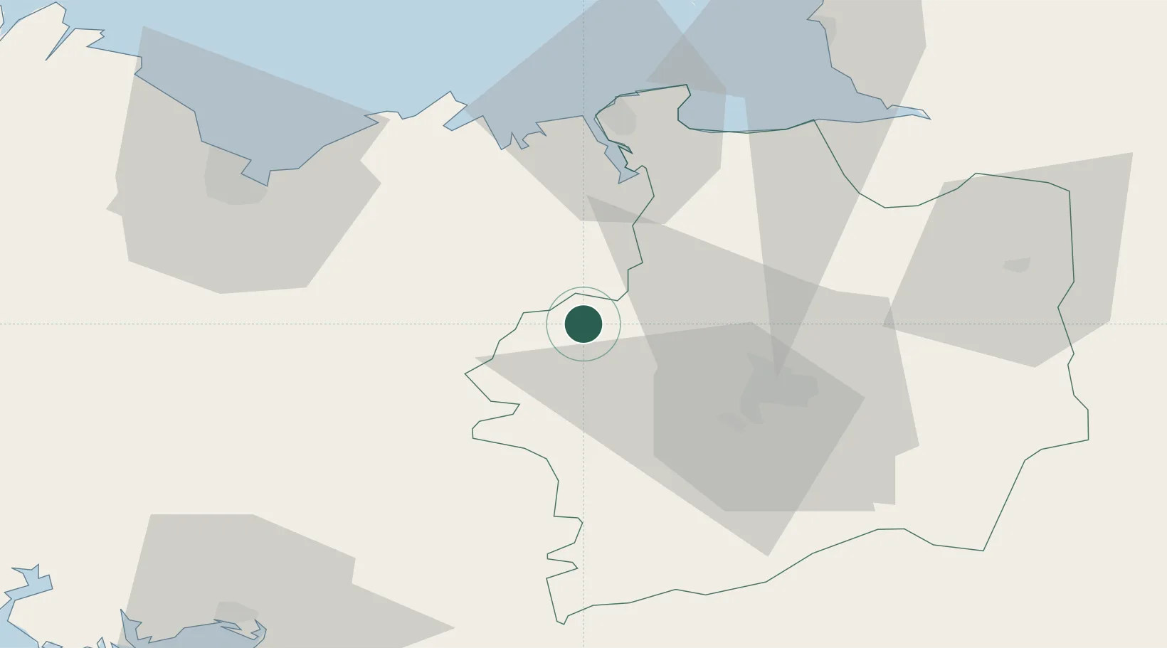
Nearby Logistics Neighbours

Cities
  1. 1La Chapelle-du-Lou4 km
  2. 2Irodouer8 km
  3. 3Pleumeleuc11 km
  4. 4Montfort-sur-Meu13 km
  5. 5Plumaudan14 km
Nearest neighbours — logibook spatial index (haversine) over the source coordinates
Ports
  1. 1Saint-Malo46 km
  2. 2Le Legue62 km
  3. 3Granville75 km
  4. 4Paimpol96 km
  5. 5Pontrieux97 km
Nearest neighbours — logibook spatial index (haversine) over the source coordinates
Airports
  1. 1Rennes-Saint-Jacques Airport30 km
  2. 2Dinard Pleurtuit Saint-Malo airport40 km
  3. 3Saint-Brieuc-Armor Airport68 km
  4. 4Vannes-Meucon Airport76 km
  5. 5Granville Airport81 km
Nearest neighbours — logibook spatial index (haversine) over the source coordinates
Trade Zones
  1. 1ZFU Saint-Nazaire108 km
  2. 2ZFU Nantes et Saint-Herblain115 km
  3. 3ZFU Angers137 km
  4. 4ZFU Cherbourg-Octeville159 km
  5. 5ZFU La Guérinière, La Grâce de Dieu160 km
Nearest neighbours — logibook spatial index (haversine) over the source coordinates
DatabookThe Record of Consolidated Knowledge
France beyond logistics?
Browse databook

All Sources

LocationsUN/LOCODE
UN/LOCODE — free
Portsthe NGA World Port Index
Public domain (US gov)
AirportsOurAirports
Public domain
Trade Zonesthe World Bank SEZ database
CC BY 4.0
Trade ZonesOpen Zone Map
CC BY
← France locations