Transport Functions
Road
Multimodal
Hub Profile
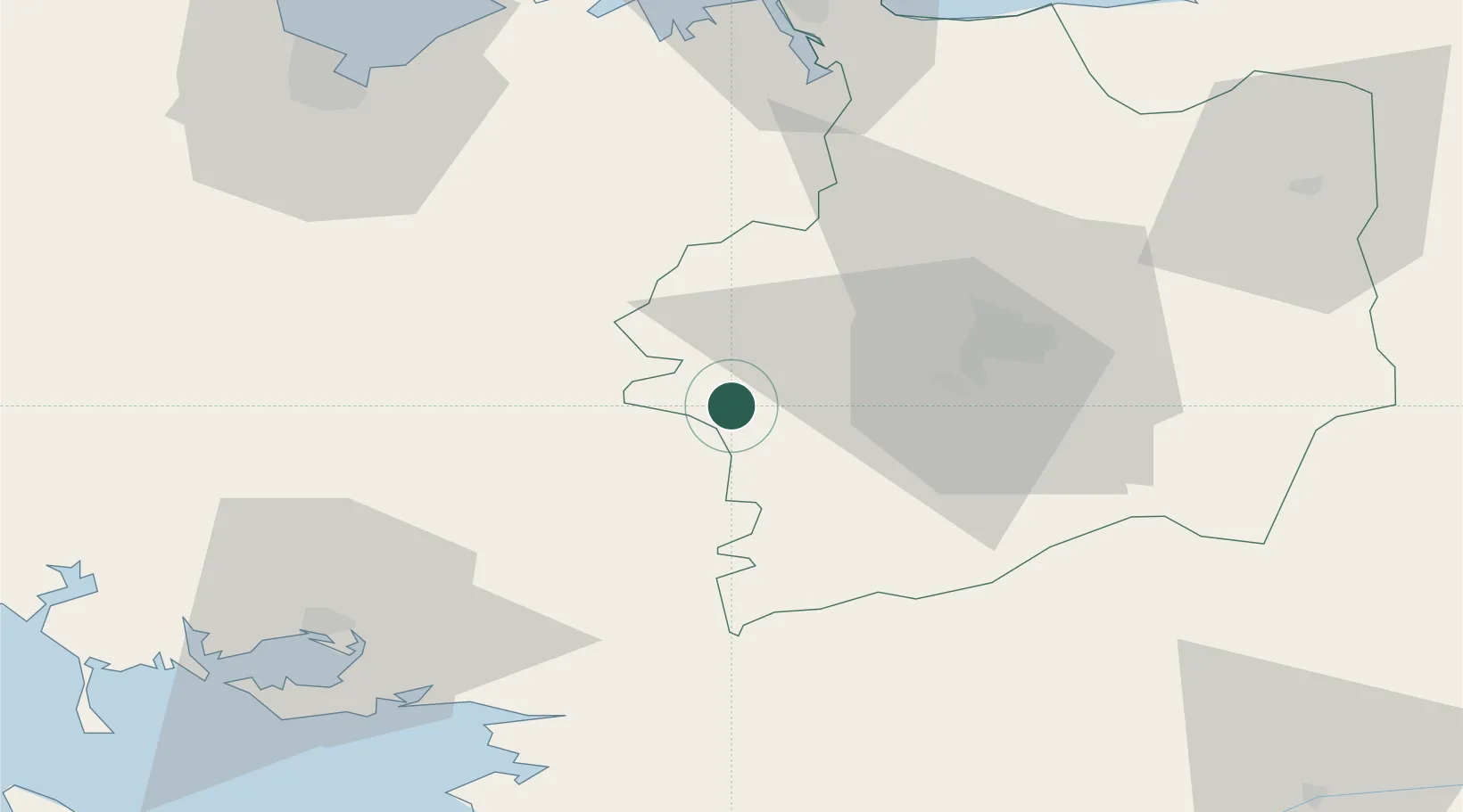
Place type
Populated place
Region
Brittany
Population
3,220
Time zone
Europe/Paris
Elevation
138 m
Location
Nearby Logistics Neighbours
Cities
- 1Campel10 km
- 2Saint-Thurial13 km
- 3Mauron17 km
- 4Montfort-sur-Meu18 km
- 5Goven19 km
Ports
- 1Saint-Malo73 km
- 2Le Legue76 km
- 3Donges78 km
- 4Montoir78 km
- 5St Nazaire80 km
Airports
Trade Zones
- 1ZFU Saint-Nazaire82 km
- 2ZFU Nantes et Saint-Herblain91 km
- 3ZFU Angers126 km
- 4ZFU La Guérinière, La Grâce de Dieu181 km
- 5ZFU Cherbourg-Octeville185 km
DatabookThe Record of Consolidated Knowledge
France beyond logistics?