Transport Functions
Multimodal
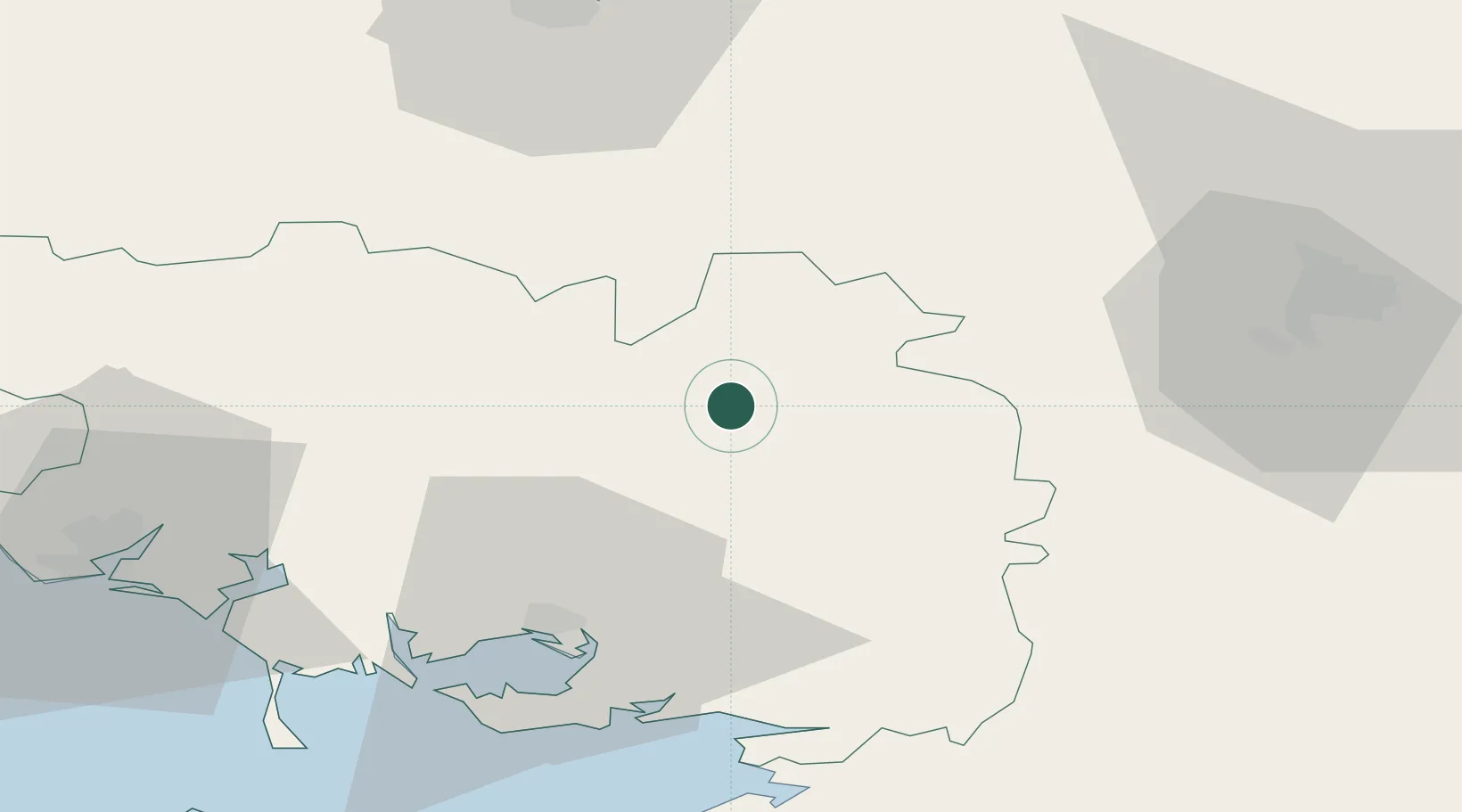
Hub Profile
Place type
Populated place
Region
Brittany
Population
676
Time zone
Europe/Paris
Elevation
75 m
Location
Nearby Logistics Neighbours
Cities
- 1La Chapelle11 km
- 2Le Roc-Saint-André12 km
- 3Plumelec17 km
- 4Malestroit17 km
- 5Bréhan19 km
Ports
- 1Lorient67 km
- 2Le Legue68 km
- 3Montoir77 km
- 4St Nazaire78 km
- 5Donges79 km
Airports
Trade Zones
- 1ZFU Saint-Nazaire77 km
- 2ZFU Nantes et Saint-Herblain101 km
- 3ZFU Angers152 km
- 4ZFU Le Mans196 km
- 5ZFU Cherbourg-Octeville198 km
DatabookThe Record of Consolidated Knowledge
France beyond logistics?