UN/LOCODE hub · France
FRL4A

Lanrelas

48.2500°, -2.3000°
900
Population
1
Transport functions

Transport Functions

Multimodal
UN/LOCODE

Hub Profile

Place type
Populated place
GeoNames
Region
Brittany
GeoNames
Population
900
GeoNames
Time zone
Europe/Paris
GeoNames
Elevation
96 m
GeoNames

Location

Location of FRL4A
Natural Earth 10m (public domain) · Brittany · FRL4A · 48.25, -2.30GoogleOSMYandex

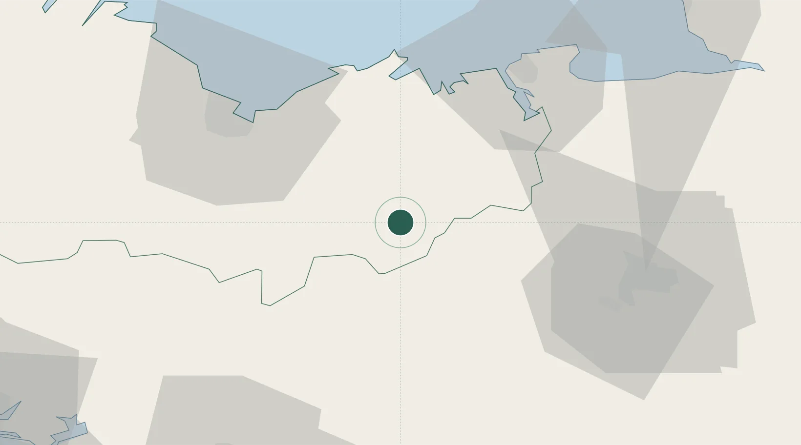
Nearby Logistics Neighbours

Cities
  1. 1Plumaudan17 km
  2. 2Collinée17 km
  3. 3Mauron19 km
  4. 4Saint-M'Hervon19 km
  5. 5Plestan22 km
Nearest neighbours — logibook spatial index (haversine) over the source coordinates
Ports
  1. 1Le Legue46 km
  2. 2Saint-Malo49 km
  3. 3Pontrieux81 km
  4. 4Paimpol81 km
  5. 5Granville83 km
Nearest neighbours — logibook spatial index (haversine) over the source coordinates
Airports
  1. 1Dinard Pleurtuit Saint-Malo airport41 km
  2. 2Rennes-Saint-Jacques Airport47 km
  3. 3Saint-Brieuc-Armor Airport52 km
  4. 4Vannes-Meucon Airport66 km
  5. 5Granville Airport89 km
Nearest neighbours — logibook spatial index (haversine) over the source coordinates
Trade Zones
  1. 1ZFU Saint-Nazaire108 km
  2. 2ZFU Nantes et Saint-Herblain123 km
  3. 3ZFU Angers153 km
  4. 4ZFU Cherbourg-Octeville162 km
  5. 5ZFU La Guérinière, La Grâce de Dieu173 km
Nearest neighbours — logibook spatial index (haversine) over the source coordinates
DatabookThe Record of Consolidated Knowledge
France beyond logistics?
Browse databook

All Sources

LocationsUN/LOCODE
UN/LOCODE — free
LocationsGeoNames
CC BY 4.0
Portsthe NGA World Port Index
Public domain (US gov)
AirportsOurAirports
Public domain
Trade Zonesthe World Bank SEZ database
CC BY 4.0
Trade ZonesOpen Zone Map
CC BY
← France locations