UN/LOCODE hub · France
FRMWM
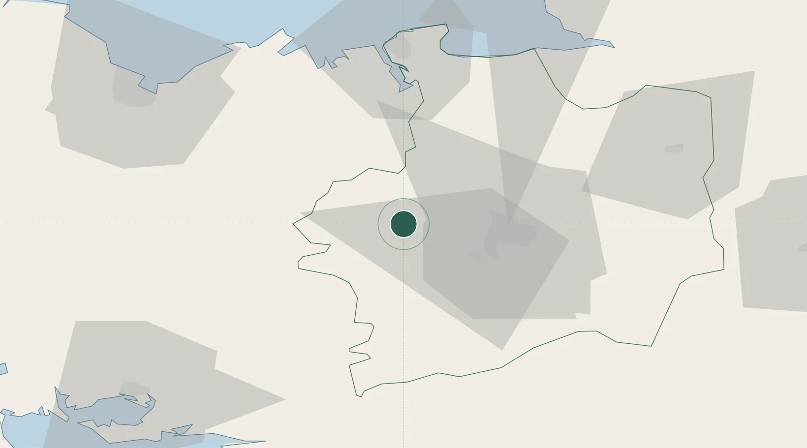
Montfort-sur-Meu
48.1333°, -1.9667°
6,007
Population
1
Transport functions
Transport Functions
Multimodal
Hub Profile
Place type
Populated place
Region
Brittany
Population
6,007
Time zone
Europe/Paris
Elevation
43 m
Location
Nearby Logistics Neighbours
Cities
- 1Pleumeleuc7 km
- 2La Chapelle-du-Lou10 km
- 3Saint-Thurial11 km
- 4Saint-M'Hervon13 km
- 5Irodouer13 km
Ports
- 1Saint-Malo58 km
- 2Le Legue73 km
- 3Granville82 km
- 4Donges93 km
- 5Montoir94 km
Airports
Trade Zones
- 1ZFU Saint-Nazaire98 km
- 2ZFU Nantes et Saint-Herblain103 km
- 3ZFU Angers125 km
- 4ZFU Alençon155 km
- 5ZFU Le Mans156 km
DatabookThe Record of Consolidated Knowledge
France beyond logistics?