UN/LOCODE hub · France
FRXRY

Luneray

49.8333°, 0.9167°
2,087
Population
1
Transport functions

Transport Functions

Port
UN/LOCODE

Hub Profile

Place type
Populated place
GeoNames
Region
Normandy
GeoNames
Population
2,087
GeoNames
Time zone
Europe/Paris
GeoNames
Elevation
76 m
GeoNames

Location

Location of FRXRY
Natural Earth 10m (public domain) · Normandy · FRXRY · 49.83, 0.92GoogleOSMYandex

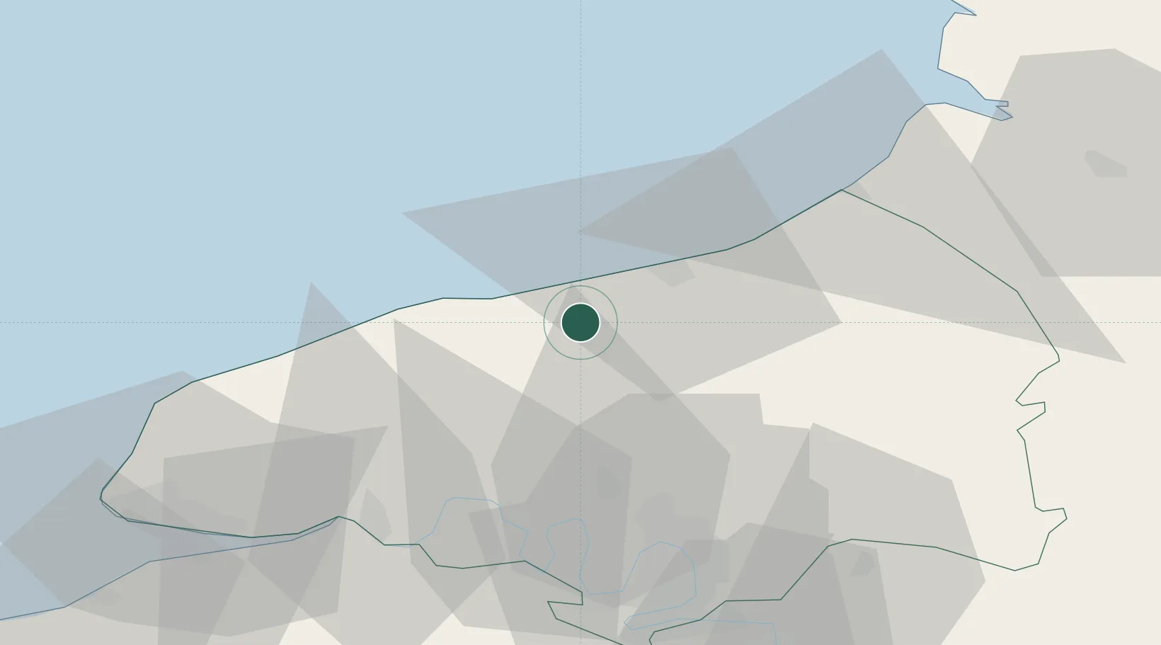
Nearby Logistics Neighbours

Cities
  1. 1Quiberville7 km
  2. 2Portes9 km
  3. 3Veules-les-Roses9 km
  4. 4Gonzeville10 km
  5. 5Anneville-sur-Scie12 km
Nearest neighbours — logibook spatial index (haversine) over the source coordinates
Ports
  1. 1Dieppe16 km
  2. 2Fecamp40 km
  3. 3Le Treport41 km
  4. 4Port Of Rouen44 km
  5. 5Saint-Valery-Sur-Somme63 km
Nearest neighbours — logibook spatial index (haversine) over the source coordinates
Airports
  1. 1Rouen Vallée de Seine Airport53 km
  2. 2Le Havre-Octeville Airport68 km
  3. 3Abbeville-Buigny Baie de Somme Airfield74 km
  4. 4Deauville Normandie airport76 km
  5. 5Le Touquet-Côte d'Opale Airport91 km
Nearest neighbours — logibook spatial index (haversine) over the source coordinates
Trade Zones
  1. 1ZFU Rouen Bihorel43 km
  2. 2ZFU Le Havre68 km
  3. 3ZFU Amiens87 km
  4. 4ZFU Évreux91 km
  5. 5ZFU Beauvais93 km
Nearest neighbours — logibook spatial index (haversine) over the source coordinates
DatabookThe Record of Consolidated Knowledge
France beyond logistics?
Browse databook

All Sources

LocationsUN/LOCODE
UN/LOCODE — free
LocationsGeoNames
CC BY 4.0
Portsthe NGA World Port Index
Public domain (US gov)
AirportsOurAirports
Public domain
Trade Zonesthe World Bank SEZ database
CC BY 4.0
Trade ZonesOpen Zone Map
CC BY
← France locations