UN/LOCODE hub · France
FRYOR

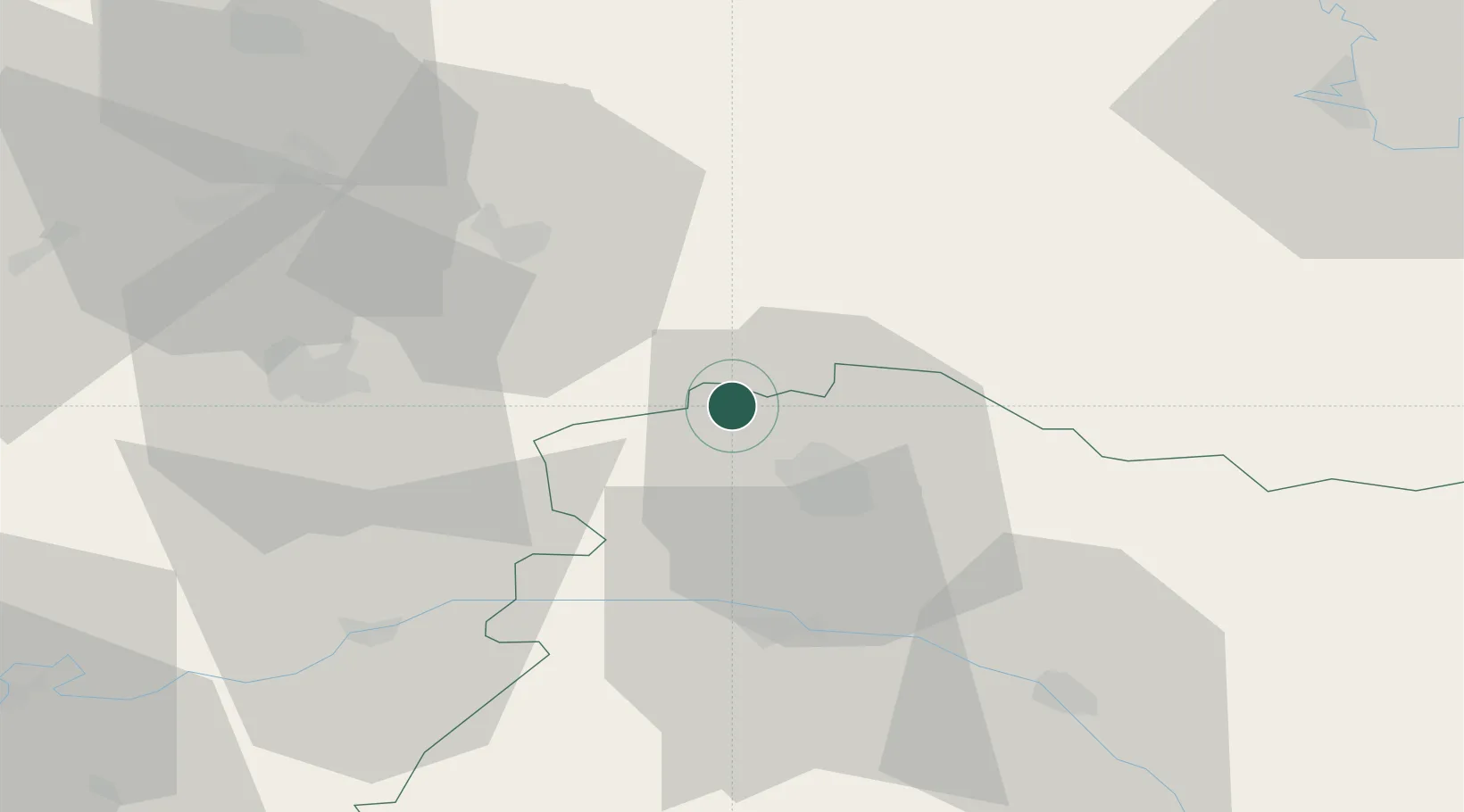
Cauroy-lès-Hermonville

49.3500°, 3.9167°
376
Population
1
Transport functions

Transport Functions

Multimodal
UN/LOCODE

Hub Profile

Place type
Populated place
GeoNames
Region
Grand Est
GeoNames
Population
376
GeoNames
Time zone
Europe/Paris
GeoNames
Elevation
87 m
GeoNames

Location

Location of FRYOR
Natural Earth 10m (public domain) · Grand Est · FRYOR · 49.35, 3.92GoogleOSMYandex

Nearby Logistics Neighbours

Cities
  1. 1Cormicy2 km
  2. 2Villers-Franqueux2 km
  3. 3Hermonville2 km
  4. 4Pouillon4 km
  5. 5Berméricourt5 km
Nearest neighbours — logibook spatial index (haversine) over the source coordinates
Ports
  1. 1Bruxelles172 km
  2. 2Saint-Valery-Sur-Somme189 km
  3. 3Ghent191 km
  4. 4Le Treport200 km
  5. 5Port Of Rouen207 km
Nearest neighbours — logibook spatial index (haversine) over the source coordinates
Airports
  1. 1Chalons Vatry airport68 km
  2. 2Charleville-Mézières Ardennes-Etienne Riché Airfield71 km
  3. 3Péronne Saint-Quentin Airfield86 km
  4. 4Creil Air Base102 km
  5. 5Charles de Gaulle International Airport106 km
Nearest neighbours — logibook spatial index (haversine) over the source coordinates
Trade Zones
  1. 1ZFU Reims12 km
  2. 2ZFU Presles, Chevreux44 km
  3. 3ZFU Ronde Couture73 km
  4. 4ZFU Le Vermandois Vermand, Fayet, Artois, Champagne75 km
  5. 5ZFU Meaux87 km
Nearest neighbours — logibook spatial index (haversine) over the source coordinates
DatabookThe Record of Consolidated Knowledge
France beyond logistics?
Browse databook

All Sources

LocationsUN/LOCODE
UN/LOCODE — free
LocationsGeoNames
CC BY 4.0
Portsthe NGA World Port Index
Public domain (US gov)
AirportsOurAirports
Public domain
Trade Zonesthe World Bank SEZ database
CC BY 4.0
Trade ZonesOpen Zone Map
CC BY
← France locations