Transport Functions
Port
Road
Hub Profile
Place type
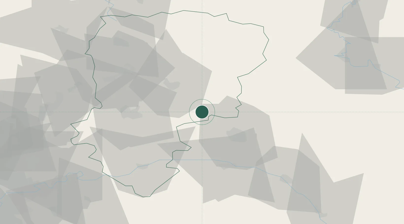
Populated place
Region
Hauts-de-France
Population
448
Time zone
Europe/Paris
Elevation
52 m
Location
Nearby Logistics Neighbours
Cities
- 1Cormicy7 km
- 2Cauroy-lès-Hermonville9 km
- 3Hermonville10 km
- 4Villers-Franqueux11 km
- 5Prouilly11 km
Ports
- 1Bruxelles168 km
- 2Saint-Valery-Sur-Somme180 km
- 3Ghent185 km
- 4Le Treport191 km
- 5Port Of Rouen199 km
Airports
Trade Zones
- 1ZFU Reims20 km
- 2ZFU Presles, Chevreux37 km
- 3ZFU Le Vermandois Vermand, Fayet, Artois, Champagne66 km
- 4ZFU Ronde Couture76 km
- 5ZFU Meaux84 km
DatabookThe Record of Consolidated Knowledge
France beyond logistics?