Transport Functions
Rail
Road
Hub Profile
Place type
Provincial seat
Region
Hauts-de-France
Population
28,688
Time zone
Europe/Paris
Elevation
180 m
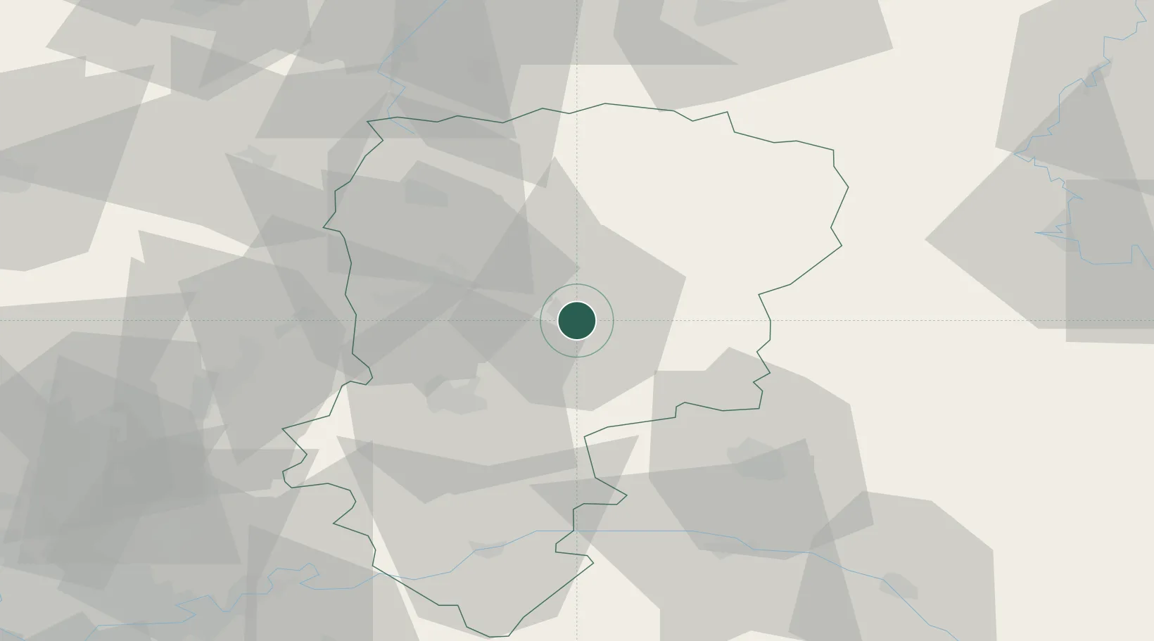
Location
Nearby Logistics Neighbours
Cities
- 1Royaucourt-et-Chailvet9 km
- 2Saint-Erme-Outre-et-Ramecourt18 km
- 3Pont-Arcy20 km
- 4Achery22 km
- 5Pontavert23 km
Ports
- 1Bruxelles153 km
- 2Saint-Valery-Sur-Somme160 km
- 3Ghent167 km
- 4Le Treport172 km
- 5Nieuwpoort185 km
Airports
Trade Zones
- 1ZFU Presles, Chevreux32 km
- 2ZFU Reims43 km
- 3ZFU Le Vermandois Vermand, Fayet, Artois, Champagne44 km
- 4ZFU Maubeuge, Louvroil80 km
- 5ZFU Ronde Couture81 km
DatabookThe Record of Consolidated Knowledge
France beyond logistics?