UN/LOCODE hub · France
FRAL8

Auménancourt

49.3833°, 4.0500°
2
Transport functions

Transport Functions

Road
Multimodal
UN/LOCODE

Hub Profile

Region
51
GeoNames

Location

Location of FRAL8
Natural Earth 10m (public domain) · 51 · FRAL8 · 49.38, 4.05GoogleOSMYandex

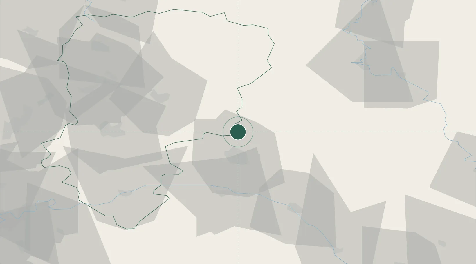
Nearby Logistics Neighbours

Cities
  1. 1Berméricourt6 km
  2. 2Villers-Franqueux10 km
  3. 3Cauroy-lès-Hermonville10 km
  4. 4Pouillon10 km
  5. 5Cormicy11 km
Nearest neighbours — logibook spatial index (haversine) over the source coordinates
Ports
  1. 1Bruxelles166 km
  2. 2Ghent189 km
  3. 3Antwerpen205 km
  4. 4Bruges214 km
  5. 5Nieuwpoort215 km
Nearest neighbours — logibook spatial index (haversine) over the source coordinates
Airports
  1. 1Charleville-Mézières Ardennes-Etienne Riché Airfield62 km
  2. 2Chalons Vatry airport69 km
  3. 3Péronne Saint-Quentin Airfield91 km
  4. 4Saint-Dizier – Robinson Air Base104 km
  5. 5Florennes Air Base105 km
Nearest neighbours — logibook spatial index (haversine) over the source coordinates
Trade Zones
  1. 1ZFU Reims15 km
  2. 2ZFU Presles, Chevreux54 km
  3. 3ZFU Ronde Couture63 km
  4. 4ZFU Le Vermandois Vermand, Fayet, Artois, Champagne80 km
  5. 5ZFU Meaux97 km
Nearest neighbours — logibook spatial index (haversine) over the source coordinates
DatabookThe Record of Consolidated Knowledge
France beyond logistics?
Browse databook

All Sources

LocationsUN/LOCODE
UN/LOCODE — free
Portsthe NGA World Port Index
Public domain (US gov)
AirportsOurAirports
Public domain
Trade Zonesthe World Bank SEZ database
CC BY 4.0
Trade ZonesOpen Zone Map
CC BY
← France locations