UN/LOCODE hub · France
FRSA5
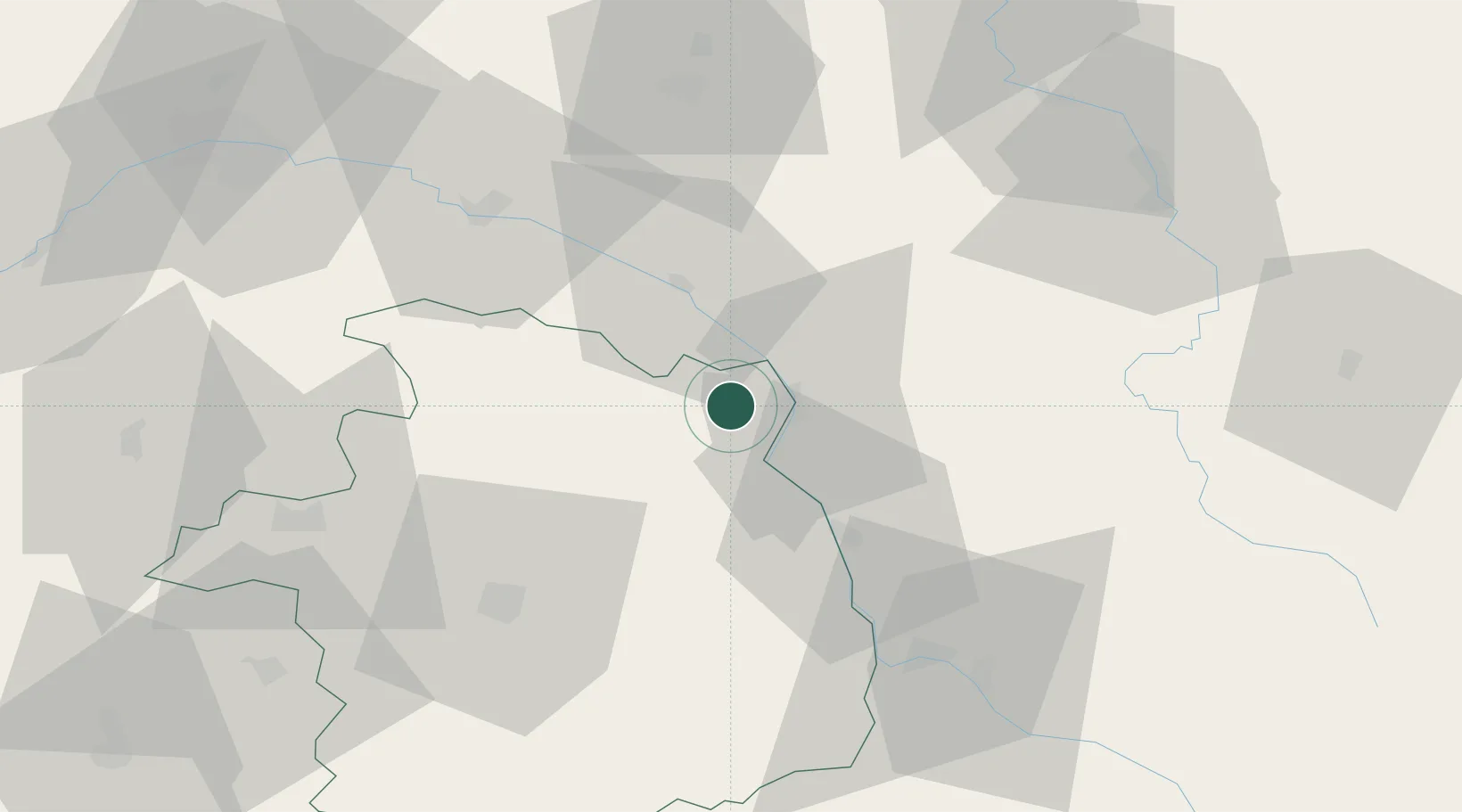
Savigny-en-Sancerre
47.4333°, 2.8167°
1,074
Population
1
Transport functions
Transport Functions
Multimodal
Hub Profile
Place type
Populated place
Region
Centre-Val de Loire
Population
1,074
Time zone
Europe/Paris
Elevation
215 m
Location
Nearby Logistics Neighbours
Cities
- 1Sainte-Gemme-en-Sancerrois4 km
- 2Léré5 km
- 3Bannay8 km
- 4Sury-en-Vaux8 km
- 5Cosne-Cours-sur-Loire8 km
Ports
- 1Port Of Rouen259 km
- 2Honfleur292 km
- 3Deauville295 km
- 4Port Of Le Havre303 km
- 5Port De Caen304 km
Airports
- 1Avord (BA 702) Air Base45 km
- 2Nevers-Fourchambault Airport53 km
- 3Bourges airport54 km
- 4Auxerre Branches airport69 km
- 5Orléans-Bricy (BA 123) Air Base100 km
Trade Zones
- 1ZFU Bourges54 km
- 2ZFU Orléans88 km
- 3ZFU Sens91 km
- 4ZFU Montereau-Fault-Yonne107 km
- 5ZFU Blois117 km
DatabookThe Record of Consolidated Knowledge
France beyond logistics?