UN/LOCODE hub · France
FRCCL
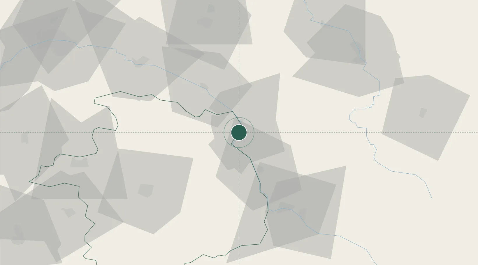
Cosne-Cours-sur-Loire
47.4000°, 2.9167°
11,613
Population
2
Transport functions
Transport Functions
Rail
Road
Hub Profile
Place type
District seat
Region
Bourgogne
Population
11,613
Time zone
Europe/Paris
Elevation
149 m
Location
Nearby Logistics Neighbours
Cities
- 1Bannay3 km
- 2Myennes4 km
- 3Saint-Père4 km
- 4Pougny7 km
- 5Sainte-Gemme-en-Sancerrois8 km
Ports
- 1Port Of Rouen266 km
- 2Honfleur300 km
- 3Deauville303 km
- 4Port Of Le Havre310 km
- 5Dieppe312 km
Airports
- 1Avord (BA 702) Air Base44 km
- 2Nevers-Fourchambault Airport47 km
- 3Bourges airport56 km
- 4Auxerre Branches airport66 km
- 5Châteauroux Déols airport108 km
Trade Zones
- 1ZFU Bourges57 km
- 2ZFU Sens92 km
- 3ZFU Orléans96 km
- 4ZFU Montereau-Fault-Yonne110 km
- 5ZFU Blois125 km
DatabookThe Record of Consolidated Knowledge
France beyond logistics?