UN/LOCODE hub · France
FRSO6

Sauzon

47.3667°, -3.2167°
884
Population
2
Transport functions

Transport Functions

Port
Road
UN/LOCODE

Hub Profile

Place type
Populated place
GeoNames
Region
Brittany
GeoNames
Population
884
GeoNames
Time zone
Europe/Paris
GeoNames
Elevation
31 m
GeoNames

Location

Location of FRSO6
Natural Earth 10m (public domain) · Brittany · FRSO6 · 47.37, -3.22GoogleOSMYandex

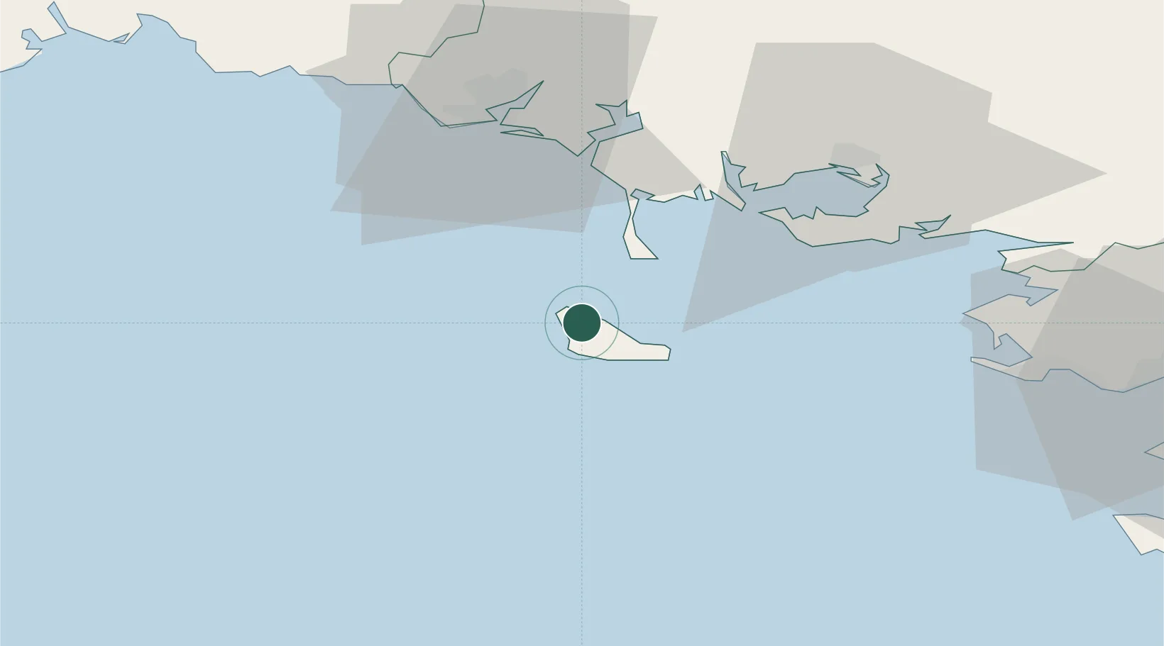
Nearby Logistics Neighbours

Cities
  1. 1Quiberon15 km
  2. 2Saint-Pierre-Quiberon18 km
  3. 3Hoedic25 km
  4. 4Carnac26 km
  5. 5La Trinité-sur-Mer28 km
Nearest neighbours — logibook spatial index (haversine) over the source coordinates
Ports
  1. 1Lorient44 km
  2. 2Concarneau76 km
  3. 3St Nazaire77 km
  4. 4Montoir82 km
  5. 5Donges87 km
Nearest neighbours — logibook spatial index (haversine) over the source coordinates
Airports
  1. 1Aérodrome de Belle Île5 km
  2. 2Lorient South Brittany (Bretagne Sud) Airport47 km
  3. 3Vannes-Meucon Airport55 km
  4. 4La Baule-Escoublac Airport66 km
  5. 5Saint-Nazaire-Montoir Airport80 km
Nearest neighbours — logibook spatial index (haversine) over the source coordinates
Trade Zones
  1. 1ZFU Saint-Nazaire72 km
  2. 2ZFU Nantes et Saint-Herblain115 km
  3. 3ZFU Angers197 km
  4. 4ZFU La Rochelle203 km
  5. 5ZFU Le Mans259 km
Nearest neighbours — logibook spatial index (haversine) over the source coordinates
DatabookThe Record of Consolidated Knowledge
France beyond logistics?
Browse databook

All Sources

LocationsUN/LOCODE
UN/LOCODE — free
LocationsGeoNames
CC BY 4.0
Portsthe NGA World Port Index
Public domain (US gov)
AirportsOurAirports
Public domain
Trade Zonesthe World Bank SEZ database
CC BY 4.0
Trade ZonesOpen Zone Map
CC BY
← France locations