UN/LOCODE hub · France
FRMHB
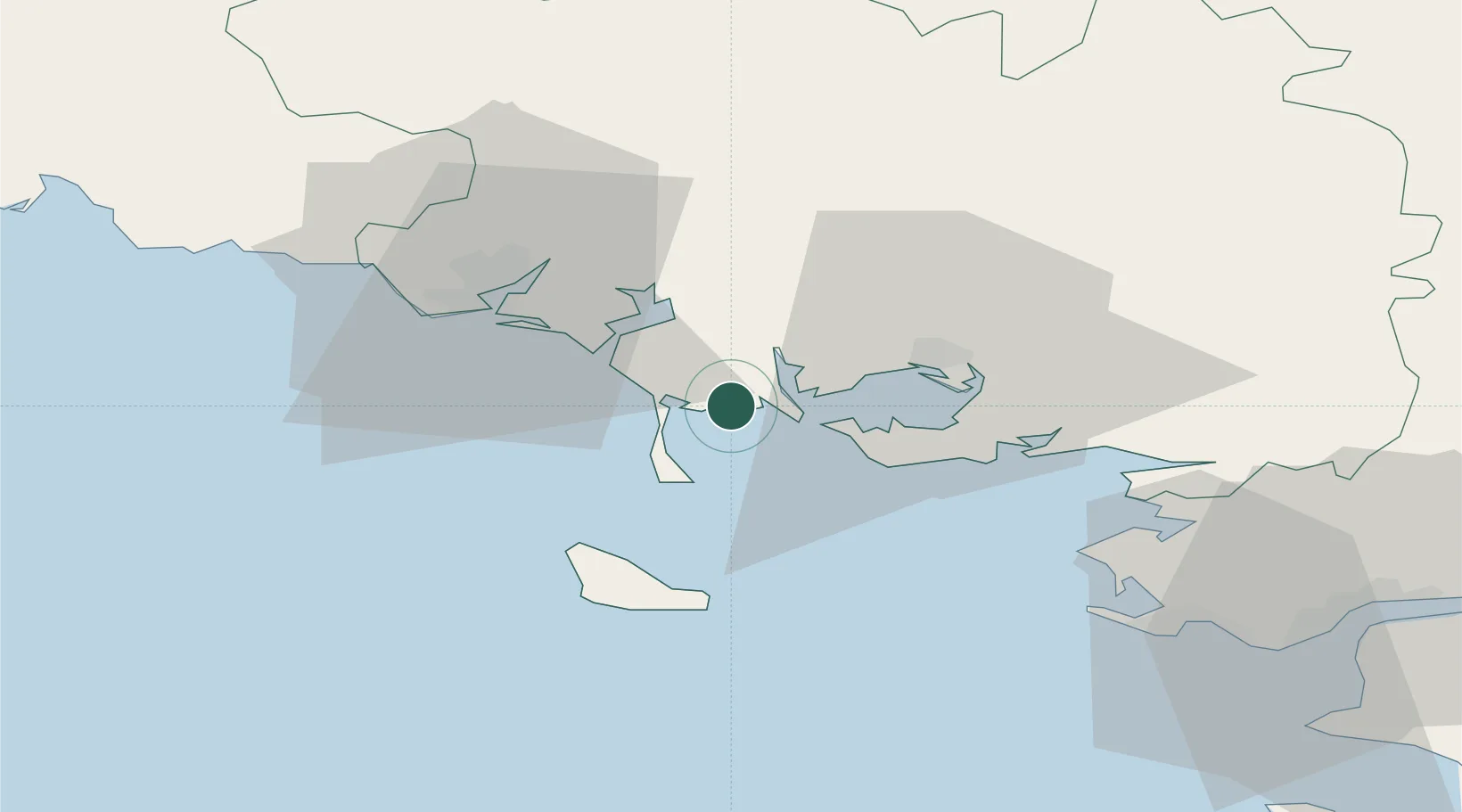
La Trinité-sur-Mer
47.5833°, -3.0333°
1,641
Population
2
Transport functions
Transport Functions
Port
Road
Hub Profile
Place type
Populated place
Region
Brittany
Population
1,641
Time zone
Europe/Paris
Elevation
23 m
Location
Nearby Logistics Neighbours
Cities
- 1Carnac4 km
- 2Crach5 km
- 3Locmariaquer7 km
- 4Baden10 km
- 5Auray10 km
Ports
- 1Lorient30 km
- 2St Nazaire71 km
- 3Concarneau73 km
- 4Montoir75 km
- 5Donges79 km
Airports
Trade Zones
- 1ZFU Saint-Nazaire67 km
- 2ZFU Nantes et Saint-Herblain108 km
- 3ZFU Angers183 km
- 4ZFU La Rochelle210 km
- 5ZFU Le Mans240 km
DatabookThe Record of Consolidated Knowledge
France beyond logistics?