Transport Functions
Port
Hub Profile
Place type
Populated place
Region
Brittany
Population
5,430
Time zone
Europe/Paris
Elevation
19 m
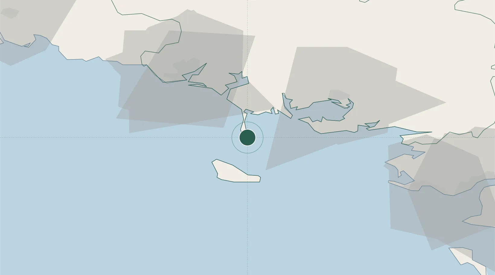
Location
Nearby Logistics Neighbours
Cities
- 1Saint-Pierre-Quiberon4 km
- 2Carnac11 km
- 3La Trinité-sur-Mer13 km
- 4Sauzon15 km
- 5Locmariaquer16 km
Ports
- 1Lorient34 km
- 2St Nazaire73 km
- 3Concarneau74 km
- 4Montoir77 km
- 5Donges82 km
Airports
Trade Zones
- 1ZFU Saint-Nazaire68 km
- 2ZFU Nantes et Saint-Herblain111 km
- 3ZFU Angers189 km
- 4ZFU La Rochelle206 km
- 5ZFU Le Mans249 km
DatabookThe Record of Consolidated Knowledge
France beyond logistics?