Transport Functions
Port
Hub Profile
Place type
Populated place
Region
Brittany
Population
124
Time zone
Europe/Paris
Elevation
15 m
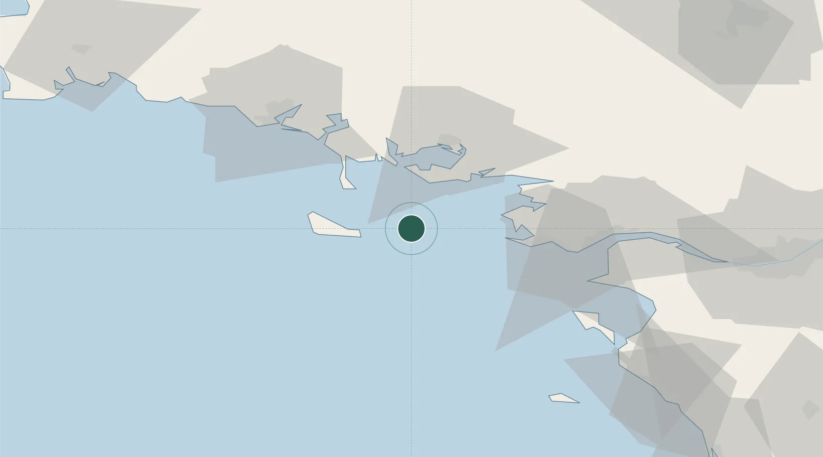
Location
Nearby Logistics Neighbours
Cities
- 1Port-Navalo24 km
- 2Quiberon24 km
- 3Sauzon25 km
- 4Locmariaquer26 km
- 5La Turballe28 km
Ports
- 1St Nazaire52 km
- 2Montoir57 km
- 3Lorient58 km
- 4Donges62 km
- 5Concarneau98 km
Airports
Trade Zones
- 1ZFU Saint-Nazaire46 km
- 2ZFU Nantes et Saint-Herblain90 km
- 3ZFU Angers173 km
- 4ZFU La Rochelle182 km
- 5ZFU Le Mans237 km
DatabookThe Record of Consolidated Knowledge
France beyond logistics?