UN/LOCODE hub · France
FRSQR

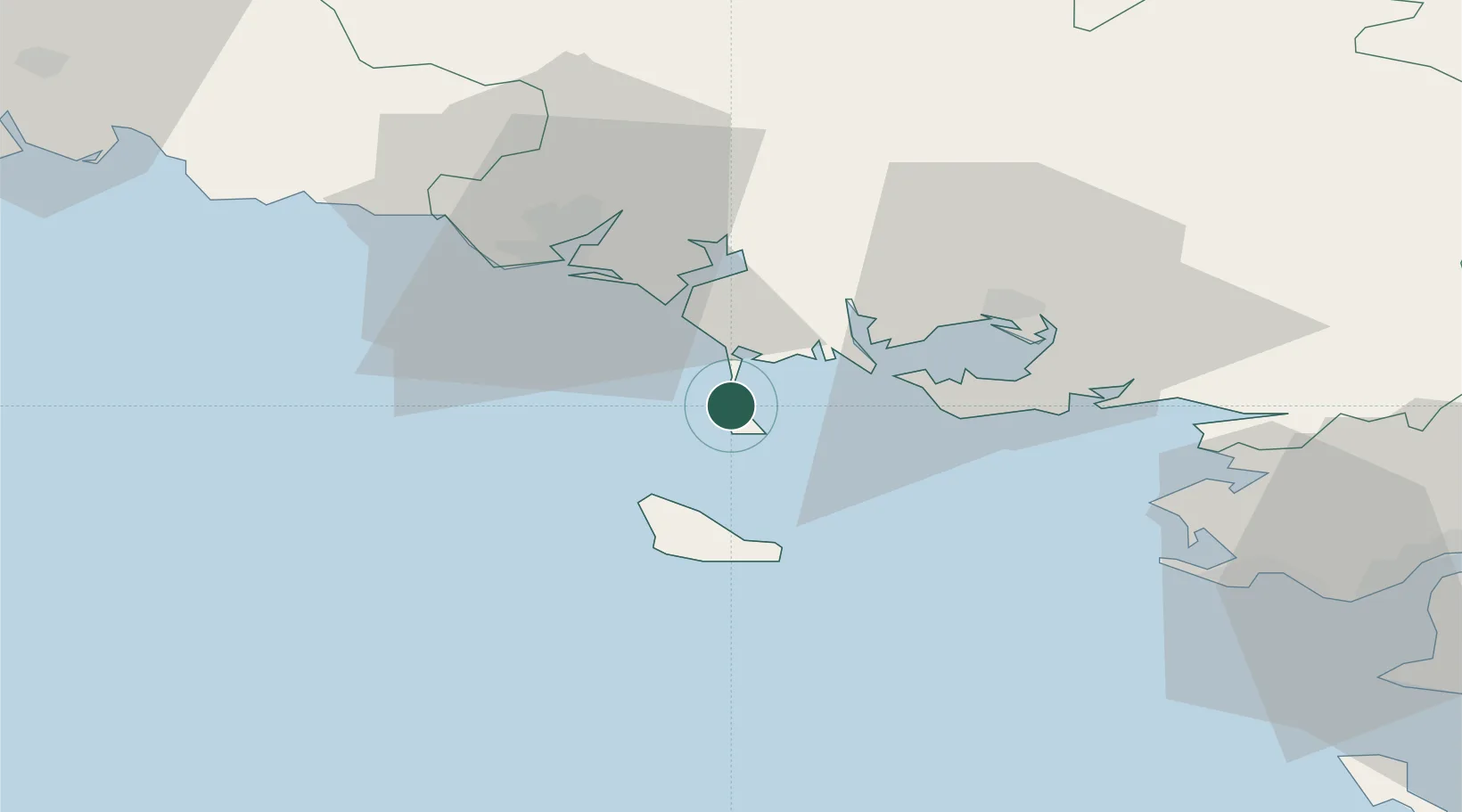
Saint-Pierre-Quiberon

47.5167°, -3.1333°
2,322
Population
4
Transport functions

Transport Functions

Port
Rail
Road
Multimodal
UN/LOCODE

Hub Profile

Place type
Populated place
GeoNames
Region
Brittany
GeoNames
Population
2,322
GeoNames
Time zone
Europe/Paris
GeoNames
Elevation
9 m
GeoNames

Location

Location of FRSQR
Natural Earth 10m (public domain) · Brittany · FRSQR · 47.52, -3.13GoogleOSMYandex

Nearby Logistics Neighbours

Cities
  1. 1Quiberon4 km
  2. 2Carnac8 km
  3. 3La Trinité-sur-Mer11 km
  4. 4Locmariaquer15 km
  5. 5Crach15 km
Nearest neighbours — logibook spatial index (haversine) over the source coordinates
Ports
  1. 1Lorient31 km
  2. 2Concarneau70 km
  3. 3St Nazaire75 km
  4. 4Montoir79 km
  5. 5Donges84 km
Nearest neighbours — logibook spatial index (haversine) over the source coordinates
Airports
  1. 1Aérodrome de Belle Île22 km
  2. 2Lorient South Brittany (Bretagne Sud) Airport36 km
  3. 3Vannes-Meucon Airport39 km
  4. 4La Baule-Escoublac Airport64 km
  5. 5Saint-Nazaire-Montoir Airport77 km
Nearest neighbours — logibook spatial index (haversine) over the source coordinates
Trade Zones
  1. 1ZFU Saint-Nazaire70 km
  2. 2ZFU Nantes et Saint-Herblain113 km
  3. 3ZFU Angers191 km
  4. 4ZFU La Rochelle210 km
  5. 5ZFU Le Mans249 km
Nearest neighbours — logibook spatial index (haversine) over the source coordinates
DatabookThe Record of Consolidated Knowledge
France beyond logistics?
Browse databook

All Sources

LocationsUN/LOCODE
UN/LOCODE — free
LocationsGeoNames
CC BY 4.0
Portsthe NGA World Port Index
Public domain (US gov)
AirportsOurAirports
Public domain
Trade Zonesthe World Bank SEZ database
CC BY 4.0
Trade ZonesOpen Zone Map
CC BY
← France locations