UN/LOCODE hub · France
FRNAC

Carnac

47.5833°, -3.0833°
4,777
Population
2
Transport functions

Transport Functions

Port
Road
UN/LOCODE

Hub Profile

Place type
Populated place
GeoNames
Region
Brittany
GeoNames
Population
4,777
GeoNames
Time zone
Europe/Paris
GeoNames
Elevation
21 m
GeoNames

Location

Location of FRNAC
Natural Earth 10m (public domain) · Brittany · FRNAC · 47.58, -3.08GoogleOSMYandex

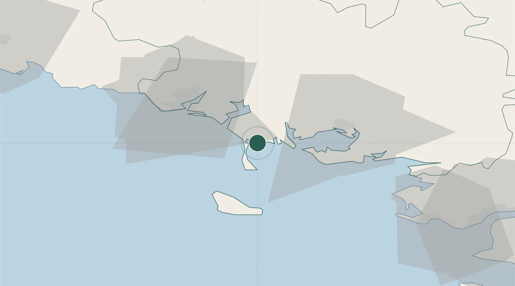
Nearby Logistics Neighbours

Cities
  1. 1La Trinité-sur-Mer4 km
  2. 2Crach7 km
  3. 3Saint-Pierre-Quiberon8 km
  4. 4Locmariaquer10 km
  5. 5Quiberon11 km
Nearest neighbours — logibook spatial index (haversine) over the source coordinates
Ports
  1. 1Lorient27 km
  2. 2Concarneau70 km
  3. 3St Nazaire74 km
  4. 4Montoir78 km
  5. 5Donges83 km
Nearest neighbours — logibook spatial index (haversine) over the source coordinates
Airports
  1. 1Aérodrome de Belle Île30 km
  2. 2Vannes-Meucon Airport31 km
  3. 3Lorient South Brittany (Bretagne Sud) Airport33 km
  4. 4La Baule-Escoublac Airport64 km
  5. 5Saint-Nazaire-Montoir Airport76 km
Nearest neighbours — logibook spatial index (haversine) over the source coordinates
Trade Zones
  1. 1ZFU Saint-Nazaire70 km
  2. 2ZFU Nantes et Saint-Herblain111 km
  3. 3ZFU Angers187 km
  4. 4ZFU La Rochelle213 km
  5. 5ZFU Le Mans244 km
Nearest neighbours — logibook spatial index (haversine) over the source coordinates
DatabookThe Record of Consolidated Knowledge
France beyond logistics?
Browse databook

All Sources

LocationsUN/LOCODE
UN/LOCODE — free
LocationsGeoNames
CC BY 4.0
Portsthe NGA World Port Index
Public domain (US gov)
AirportsOurAirports
Public domain
Trade Zonesthe World Bank SEZ database
CC BY 4.0
Trade ZonesOpen Zone Map
CC BY
← France locations