Transport Functions
Multimodal
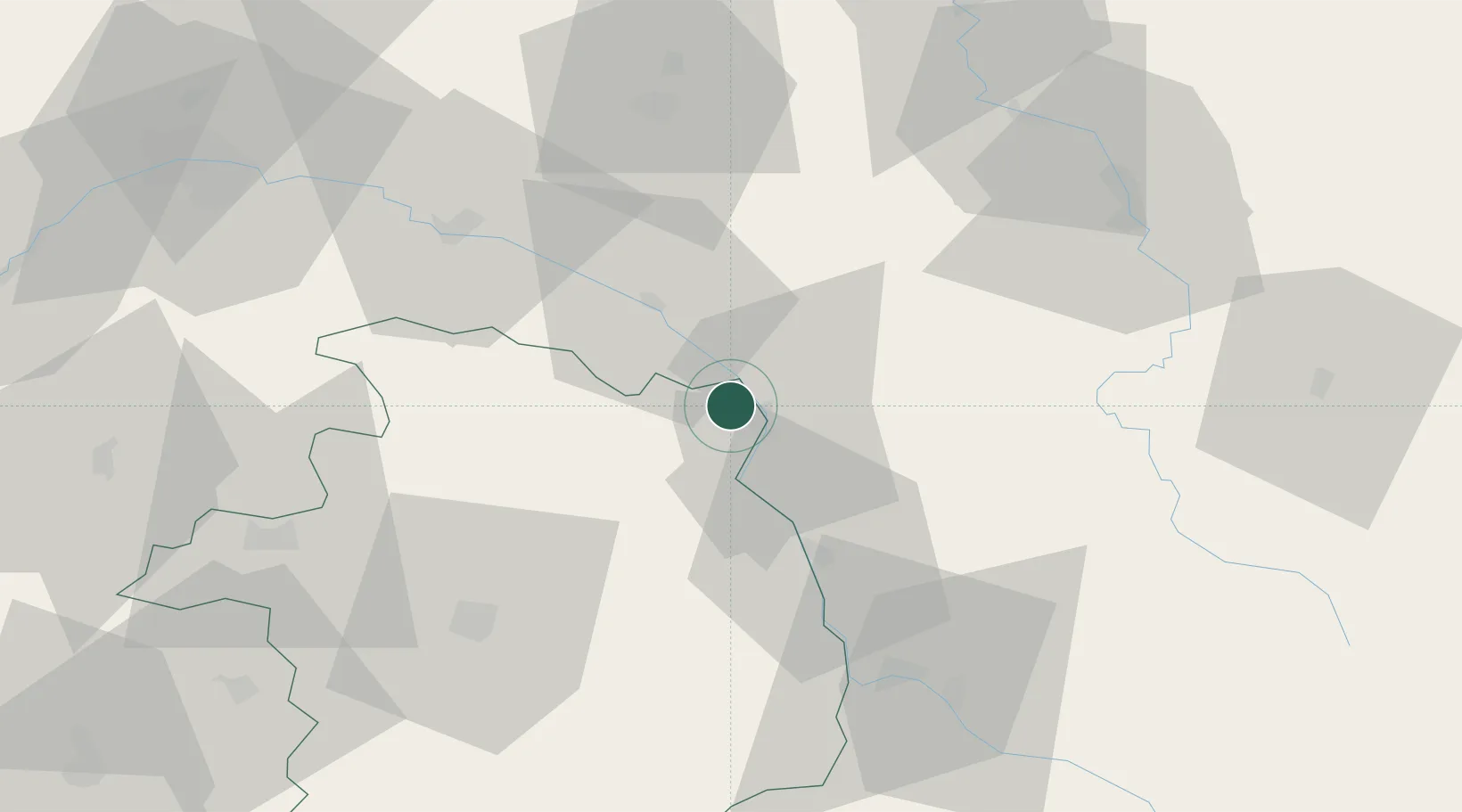
Hub Profile
Place type
Populated place
Region
Centre-Val de Loire
Population
1,290
Time zone
Europe/Paris
Elevation
153 m
Location
Nearby Logistics Neighbours
Cities
- 1Savigny-en-Sancerre5 km
- 2Neuvy-sur-Loire6 km
- 3Myennes6 km
- 4Cosne-Cours-sur-Loire8 km
- 5Sainte-Gemme-en-Sancerrois8 km
Ports
- 1Port Of Rouen257 km
- 2Honfleur292 km
- 3Deauville295 km
- 4Port Of Le Havre302 km
- 5Dieppe304 km
Airports
- 1Avord (BA 702) Air Base49 km
- 2Nevers-Fourchambault Airport55 km
- 3Bourges airport59 km
- 4Auxerre Branches airport64 km
- 5Orléans-Bricy (BA 123) Air Base101 km
Trade Zones
- 1ZFU Bourges59 km
- 2ZFU Sens86 km
- 3ZFU Orléans89 km
- 4ZFU Montereau-Fault-Yonne103 km
- 5ZFU Blois121 km
DatabookThe Record of Consolidated Knowledge
France beyond logistics?