Transport Functions
Road
Multimodal
Hub Profile
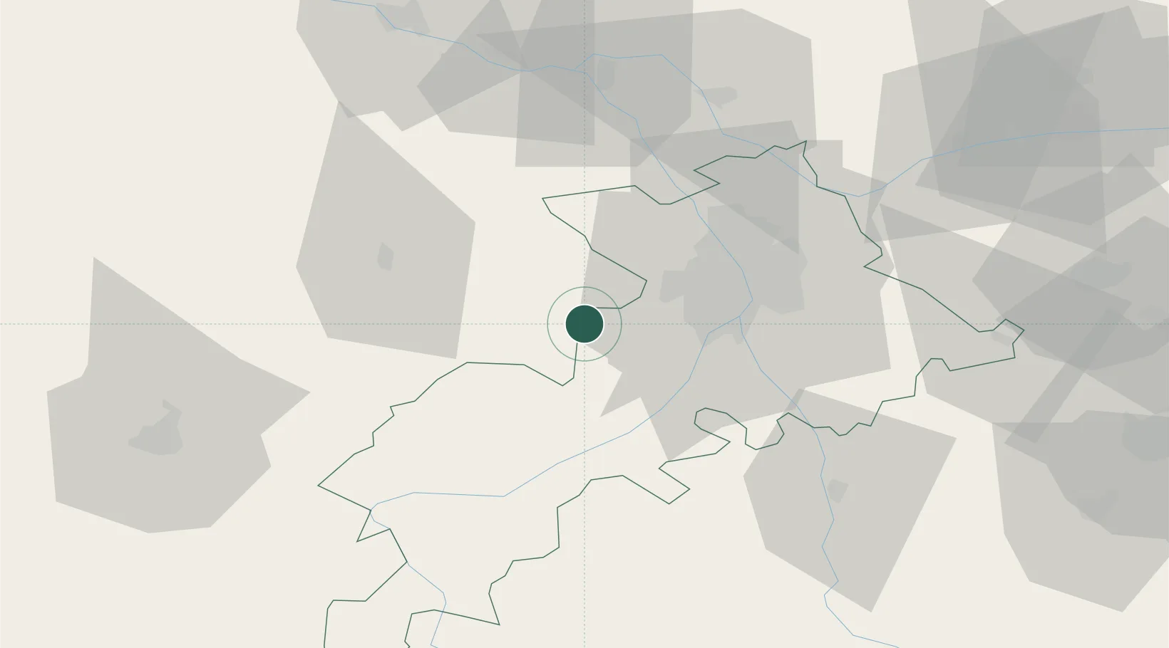
Place type
Populated place
Region
Occitanie
Population
251
Time zone
Europe/Paris
Elevation
238 m
Location
Nearby Logistics Neighbours
Cities
- 1Lherm15 km
- 2Léguevin19 km
- 3Gimont20 km
- 4Villeneuve-Tolosane23 km
- 5Bours24 km
Ports
- 1Port-La-Nouvelle172 km
- 2Bordeaux199 km
- 3Port-Vendres201 km
- 4Bayonne203 km
- 5Ambes211 km
Airports
Trade Zones
- 1ZFU Toulouse34 km
- 2ZFU Perpignan174 km
- 3ZFU Béziers176 km
- 4ZFU Hauts de Garonne197 km
- 5Port de Bordeaux201 km
DatabookThe Record of Consolidated Knowledge
France beyond logistics?