UN/LOCODE hub · France
FREGV

Léguevin

43.6000°, 1.2333°
6,976
Population
1
Transport functions

Transport Functions

Multimodal
UN/LOCODE

Hub Profile

Place type
Populated place
GeoNames
Region
Occitanie
GeoNames
Population
6,976
GeoNames
Time zone
Europe/Paris
GeoNames
Elevation
195 m
GeoNames

Location

Location of FREGV
Natural Earth 10m (public domain) · Occitanie · FREGV · 43.60, 1.23GoogleOSMYandex

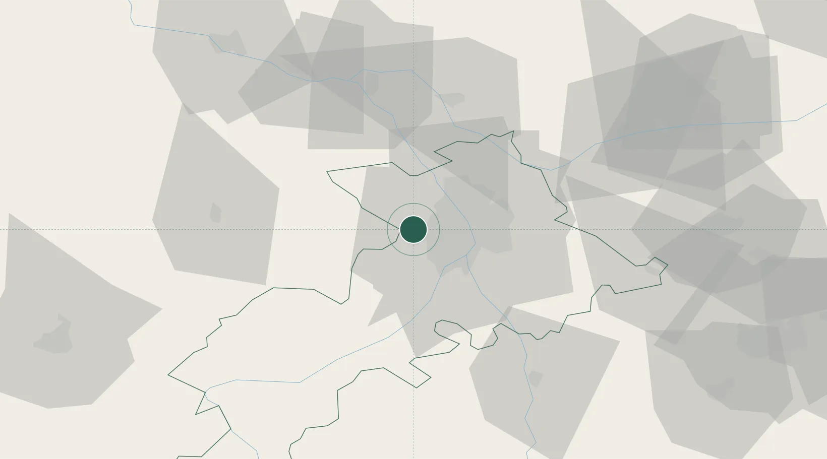
Nearby Logistics Neighbours

Cities
  1. 1Cornebarrieu9 km
  2. 2Lardenne12 km
  3. 3Villeneuve-Tolosane12 km
  4. 4Merville14 km
  5. 5Thil14 km
Nearest neighbours — logibook spatial index (haversine) over the source coordinates
Ports
  1. 1Port-La-Nouvelle162 km
  2. 2Port-Vendres195 km
  3. 3Sete200 km
  4. 4Bordeaux201 km
  5. 5Ambes211 km
Nearest neighbours — logibook spatial index (haversine) over the source coordinates
Airports
  1. 1Toulouse-Blagnac Airport11 km
  2. 2Toulouse-Francazal (BA 101) Air Base12 km
  3. 3Auch Gers Airfield52 km
  4. 4Aérodrome de Saint-Girons - Antichan67 km
  5. 5Albi Le Sequestre airport79 km
Nearest neighbours — logibook spatial index (haversine) over the source coordinates
Trade Zones
  1. 1ZFU Toulouse17 km
  2. 2ZFU Béziers163 km
  3. 3ZFU Perpignan168 km
  4. 4ZFU Hauts de Garonne199 km
  5. 5Port de Bordeaux203 km
Nearest neighbours — logibook spatial index (haversine) over the source coordinates
DatabookThe Record of Consolidated Knowledge
France beyond logistics?
Browse databook

All Sources

LocationsUN/LOCODE
UN/LOCODE — free
LocationsGeoNames
CC BY 4.0
Portsthe NGA World Port Index
Public domain (US gov)
AirportsOurAirports
Public domain
Trade Zonesthe World Bank SEZ database
CC BY 4.0
Trade ZonesOpen Zone Map
CC BY
← France locations