Free Trade Zone · France

Port de Bordeaux Active
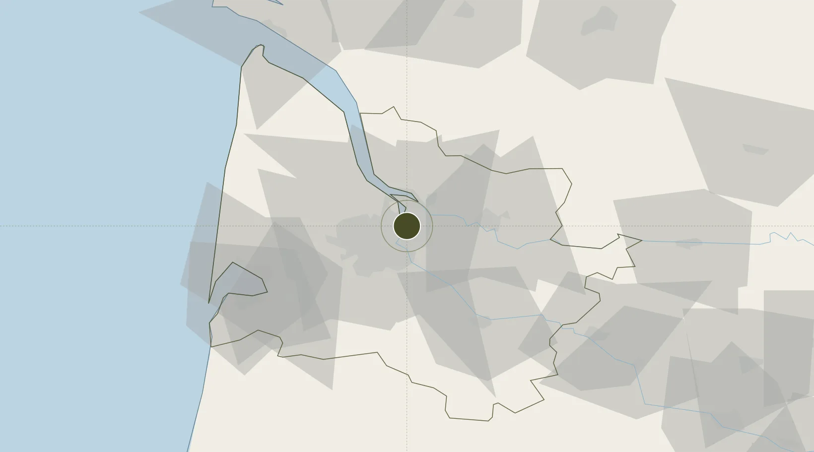
44.9099°, -0.5359°
500 ha
Zone area
5.4 km
Nearest port
16.8 km
Nearest airport

Gateway access

Nearest neighbours — logibook spatial index (haversine) over the source coordinates

Zone profile

Zone type
Free Trade Zone
Open Zone Map
Region
Gironde
Open Zone Map
Status
Active
Open Zone Map
Management
Public
Open Zone Map
Operator
Port de Bordeaux
Open Zone Map
Legal framework
Décret no 65-939 du 8 novembre 1965, Décret du 9 Octobre 2008
Open Zone Map

Location

Location of ozm-2024
Natural Earth 10m (public domain) · Gironde · ozm-2024 · 44.91, -0.54GoogleOSMYandex

Nearby Logistics Neighbours

Ports
  1. 1Bordeaux5 km
  2. 2Ambes12 km
  3. 3Blaye27 km
  4. 4Pauillac36 km
  5. 5Le Verdon82 km
Nearest neighbours — logibook spatial index (haversine) over the source coordinates
Airports
  1. 1Bordeaux–Mérignac Airport17 km
  2. 2Aérodrome d'Arcachon-La Teste-de-Buch57 km
  3. 3Cazaux (BA 120) Air Base63 km
  4. 4Bergerac Dordogne-Périgord airport84 km
  5. 5Cognac-Châteaubernard (BA 709) Air Base85 km
Nearest neighbours — logibook spatial index (haversine) over the source coordinates
Cities
  1. 1Bassens1 km
  2. 2Bordeaux4 km
  3. 3Monbadon4 km
  4. 4Saint-Louis-de-Montferrand5 km
  5. 5Ambarès-et-Lagrave6 km
Nearest neighbours — logibook spatial index (haversine) over the source coordinates
Trade Zones
  1. 1ZFU Hauts de Garonne10 km
  2. 2ZFU La Rochelle149 km
  3. 3Depósito Franco de Pasajes (Guipúzcoa)208 km
  4. 4ZFU Toulouse214 km
  5. 5Depósito Franco de Bilbao266 km
Nearest neighbours — logibook spatial index (haversine) over the source coordinates
DatabookThe Record of Consolidated Knowledge
France beyond logistics?
Browse databook

All Sources

Trade ZonesOpen Zone Map
CC BY
Portsthe NGA World Port Index
Public domain (US gov)
AirportsOurAirports
Public domain
LocationsUN/LOCODE
UN/LOCODE — free
← France trade zones