Transport Functions
Multimodal
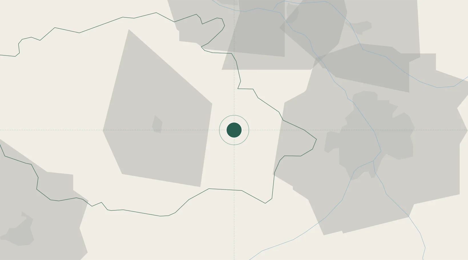
Hub Profile
Place type
Populated place
Region
Occitanie
Population
2,852
Time zone
Europe/Paris
Elevation
183 m
Location
Nearby Logistics Neighbours
Cities
- 1Mauvezin11 km
- 2Seysses-Savès20 km
- 3Bajonnette20 km
- 4Mirepoix21 km
- 5Avensac22 km
Ports
- 1Bordeaux179 km
- 2Port-La-Nouvelle189 km
- 3Bayonne190 km
- 4Ambes191 km
- 5Blaye207 km
Airports
Trade Zones
- 1ZFU Toulouse45 km
- 2ZFU Hauts de Garonne177 km
- 3Port de Bordeaux181 km
- 4ZFU Béziers191 km
- 5ZFU Perpignan193 km
DatabookThe Record of Consolidated Knowledge
France beyond logistics?