Medium airport · France

Agen La Garenne airportLFBA
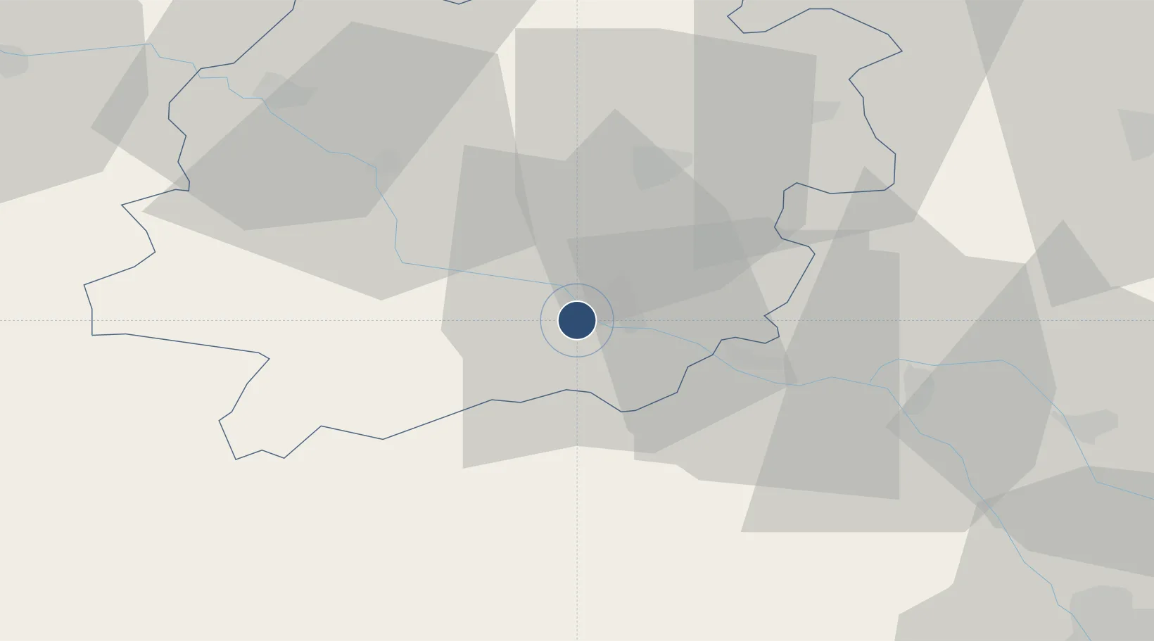
44.1742°, 0.5931°
7,103 ft
Longest runway
1
Runways
204 ft
Elevation

Runway & Layout

Agen La Garenne airport runway & taxiway layout
Runway & taxiway layout — OpenStreetMap (ODbL) / OurAirports

Radio Frequencies

ATIS
129.6 MHz
TWR
121.3 MHz
AGEN TWR
APP
121.1 MHz
BLAGNAC APP
APP
121.175 MHz
TOULOUSE APP
OurAirports

Runways · 1

RunwayDimensions SurfaceTrue headingLit
11/29 7,103 × 98ft Asphalt 112°
OurAirports

Airport Specifications

IATA code
AGF
OurAirports
ICAO code
LFBA
OurAirports
Airport class
Medium airport
OurAirports
Scheduled service
No
OurAirports
Runway surface
Asphalt
OurAirports
Served city
Agen
OurAirports

Location

Location of LFBA
Natural Earth 10m (public domain) · Lot-et-Garonne · LFBA · 44.17, 0.59GoogleOSMYandex

Nearby Logistics Neighbours

Airports
  1. 1Auch Gers Airfield55 km
  2. 2Bergerac Dordogne-Périgord airport73 km
  3. 3Cahors Lalbenque airport73 km
  4. 4Toulouse-Blagnac Airport87 km
  5. 5Mont-de-Marsan (BA 118) Air Base93 km
Nearest neighbours — logibook spatial index (haversine) over the source coordinates
Cities
  1. 1Agen3 km
  2. 2Calignac14 km
  3. 3Bruch15 km
  4. 4Bazens17 km
  5. 5Francescas18 km
Nearest neighbours — logibook spatial index (haversine) over the source coordinates
Ports
  1. 1Bordeaux120 km
  2. 2Ambes129 km
  3. 3Blaye146 km
  4. 4Pauillac156 km
  5. 5Bayonne181 km
Nearest neighbours — logibook spatial index (haversine) over the source coordinates
Trade Zones
  1. 1ZFU Toulouse93 km
  2. 2ZFU Hauts de Garonne118 km
  3. 3Port de Bordeaux121 km
  4. 4Depósito Franco de Pasajes (Guipúzcoa)223 km
  5. 5ZFU Béziers230 km
Nearest neighbours — logibook spatial index (haversine) over the source coordinates
DatabookThe Record of Consolidated Knowledge
France beyond logistics?
Browse databook

All Sources

AirportsOurAirports
Public domain
Portsthe NGA World Port Index
Public domain (US gov)
LocationsUN/LOCODE
UN/LOCODE — free
Trade Zonesthe World Bank SEZ database
CC BY 4.0
Trade ZonesOpen Zone Map
CC BY
InfrastructureOpenStreetMap
ODbL 1.0
← France airports