Transport Functions
Multimodal
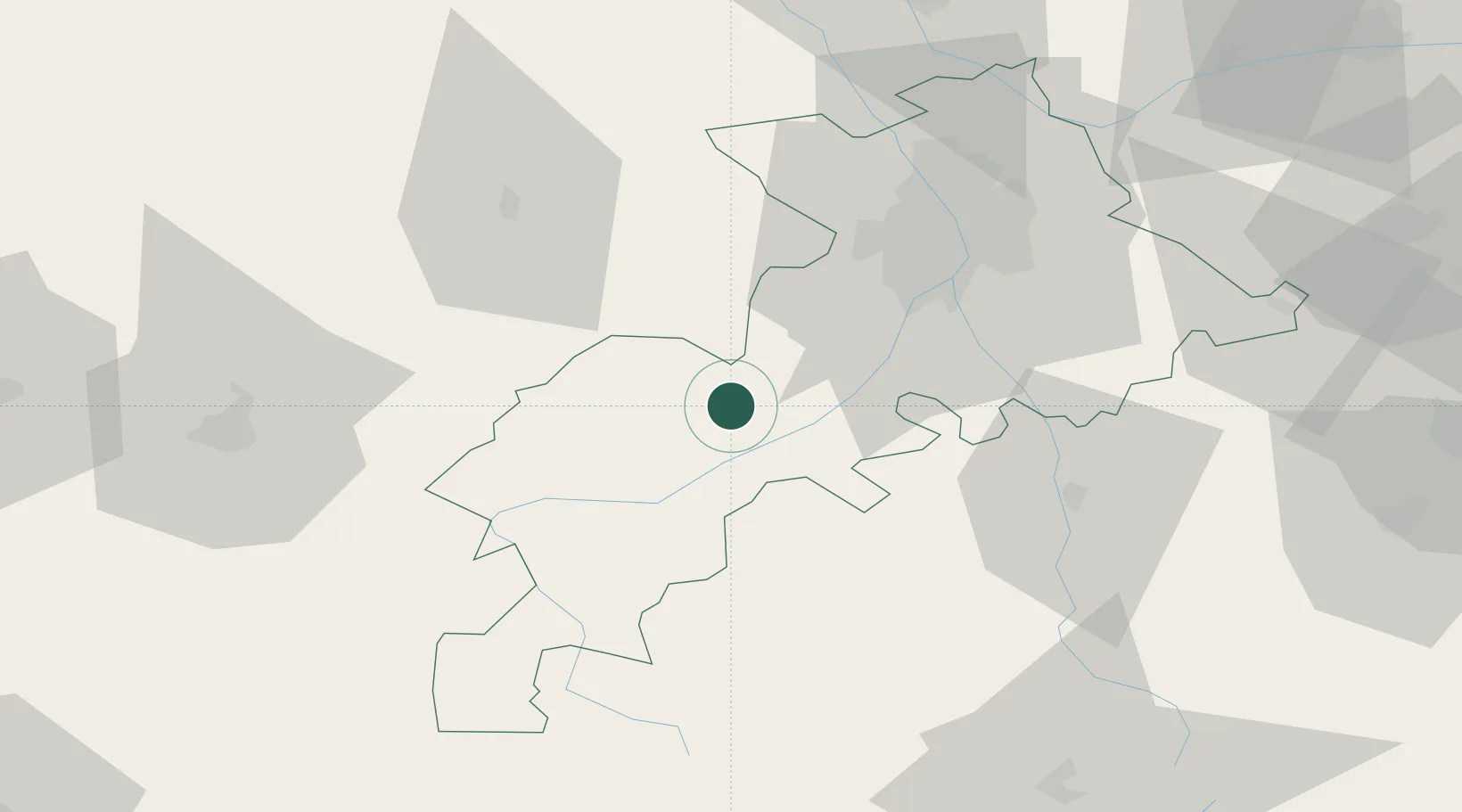
Hub Profile
Place type
Populated place
Region
Occitanie
Population
724
Time zone
Europe/Paris
Elevation
282 m
Location
Nearby Logistics Neighbours
Cities
- 1Lavelanet-de-Comminges10 km
- 2Boussens11 km
- 3Lherm24 km
- 4Seysses-Savès24 km
- 5Péguilhan25 km
Ports
- 1Port-La-Nouvelle170 km
- 2Port-Vendres192 km
- 3Bayonne201 km
- 4Rosas211 km
- 5Bordeaux216 km
Airports
Trade Zones
- 1ZFU Toulouse51 km
- 2ZFU Perpignan167 km
- 3ZFU Béziers179 km
- 4ZFU Hauts de Garonne213 km
- 5Port de Bordeaux219 km
DatabookThe Record of Consolidated Knowledge
France beyond logistics?