Transport Functions
Multimodal
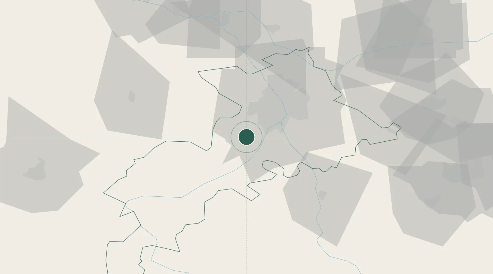
Hub Profile
Place type
Populated place
Region
Occitanie
Population
2,887
Time zone
Europe/Paris
Elevation
225 m
Location
Nearby Logistics Neighbours
Cities
- 1Villeneuve-Tolosane13 km
- 2Beaumont-sur-Lèze13 km
- 3Pins-Justaret15 km
- 4Seysses-Savès15 km
- 5Vernet16 km
Ports
- 1Port-La-Nouvelle157 km
- 2Port-Vendres185 km
- 3Sete201 km
- 4Rosas206 km
- 5Bordeaux214 km
Airports
Trade Zones
- 1ZFU Toulouse26 km
- 2ZFU Perpignan159 km
- 3ZFU Béziers162 km
- 4ZFU Hauts de Garonne211 km
- 5ZFU Montpellier213 km
DatabookThe Record of Consolidated Knowledge
France beyond logistics?