UN/LOCODE hub · France
FRS2R
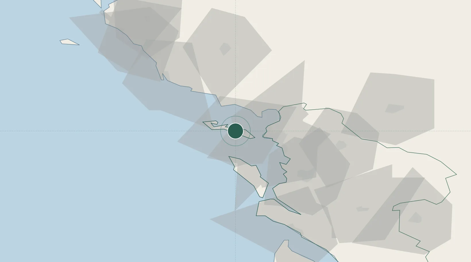
Saint-Martin-de-Ré
46.2000°, -1.3667°
2,812
Population
2
Transport functions
Transport Functions
Port
Road
Hub Profile
Place type
Populated place
Region
Nouvelle-Aquitaine
Population
2,812
Time zone
Europe/Paris
Elevation
12 m
Location
Nearby Logistics Neighbours
Cities
- 1La Couarde-sur-Mer3 km
- 2la Pallice12 km
- 3La Rochelle12 km
- 4Aytré22 km
- 5Esnandes23 km
Ports
- 1La Pallice12 km
- 2La Rochelle18 km
- 3Rochefort44 km
- 4Tonnay Charente47 km
- 5Les Sables D' Olonne47 km
Airports
Trade Zones
- 1ZFU La Rochelle13 km
- 2ZFU Nantes et Saint-Herblain117 km
- 3ZFU Saint-Nazaire138 km
- 4ZFU Angers154 km
- 5Port de Bordeaux157 km
DatabookThe Record of Consolidated Knowledge
France beyond logistics?