UN/LOCODE hub · France
FREN2

Esnandes

46.2500°, -1.0833°
1,959
Population
1
Transport functions

Transport Functions

Multimodal
UN/LOCODE

Hub Profile

Place type
Populated place
GeoNames
Region
Nouvelle-Aquitaine
GeoNames
Population
1,959
GeoNames
Time zone
Europe/Paris
GeoNames
Elevation
9 m
GeoNames

Location

Location of FREN2
Natural Earth 10m (public domain) · Nouvelle-Aquitaine · FREN2 · 46.25, -1.08GoogleOSMYandex

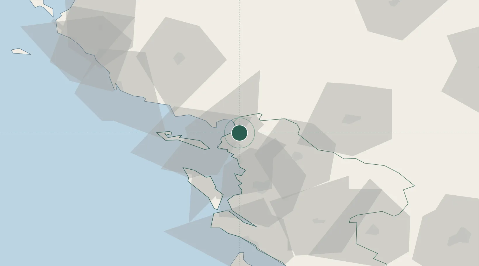
Nearby Logistics Neighbours

Cities
  1. 1Marans9 km
  2. 2Sainte-Soulle9 km
  3. 3Périgny11 km
  4. 4Aytré13 km
  5. 5la Pallice14 km
Nearest neighbours — logibook spatial index (haversine) over the source coordinates
Ports
  1. 1La Rochelle12 km
  2. 2La Pallice14 km
  3. 3Rochefort37 km
  4. 4Tonnay Charente38 km
  5. 5Les Sables D' Olonne62 km
Nearest neighbours — logibook spatial index (haversine) over the source coordinates
Airports
  1. 1La Rochelle Île de Ré Airport12 km
  2. 2Rochefort-Saint-Agnant (BA 721) Airport41 km
  3. 3Niort - Marais Poitevin Airport53 km
  4. 4La Roche-sur-Yon Les Ajoncs Airport55 km
  5. 5Royan-Médis Airport70 km
Nearest neighbours — logibook spatial index (haversine) over the source coordinates
Trade Zones
  1. 1ZFU La Rochelle14 km
  2. 2ZFU Nantes et Saint-Herblain118 km
  3. 3ZFU Angers142 km
  4. 4ZFU Saint-Nazaire146 km
  5. 5Port de Bordeaux155 km
Nearest neighbours — logibook spatial index (haversine) over the source coordinates
DatabookThe Record of Consolidated Knowledge
France beyond logistics?
Browse databook

All Sources

LocationsUN/LOCODE
UN/LOCODE — free
LocationsGeoNames
CC BY 4.0
Portsthe NGA World Port Index
Public domain (US gov)
AirportsOurAirports
Public domain
Trade Zonesthe World Bank SEZ database
CC BY 4.0
Trade ZonesOpen Zone Map
CC BY
← France locations