UN/LOCODE hub · France
FRRDM
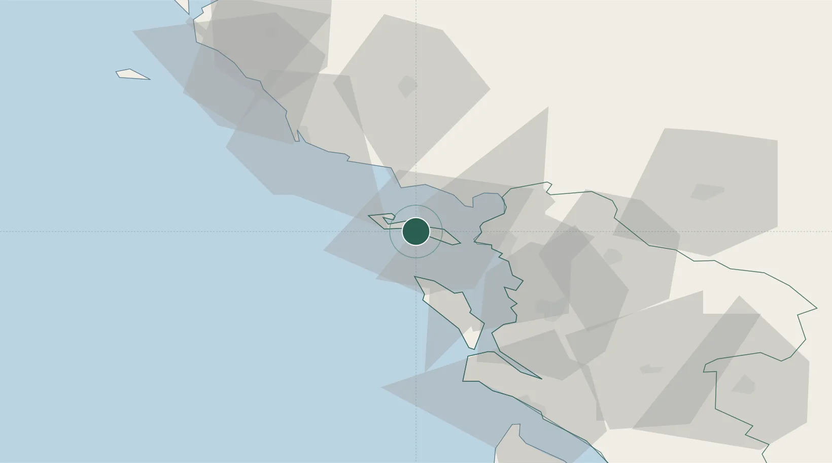
La Couarde-sur-Mer
46.2000°, -1.4000°
1,272
Population
2
Transport functions
Transport Functions
Port
Road
Hub Profile
Place type
Populated place
Region
Nouvelle-Aquitaine
Population
1,272
Time zone
Europe/Paris
Elevation
5 m
Location
Nearby Logistics Neighbours
Cities
- 1Saint-Martin-de-Ré3 km
- 2la Pallice15 km
- 3La Rochelle15 km
- 4Aytré24 km
- 5Esnandes25 km
Ports
- 1La Pallice15 km
- 2La Rochelle20 km
- 3Les Sables D' Olonne45 km
- 4Rochefort46 km
- 5Tonnay Charente49 km
Airports
Trade Zones
- 1ZFU La Rochelle15 km
- 2ZFU Nantes et Saint-Herblain116 km
- 3ZFU Saint-Nazaire137 km
- 4ZFU Angers155 km
- 5Port de Bordeaux158 km
DatabookThe Record of Consolidated Knowledge
France beyond logistics?