Medium airport · France

Rochefort-Saint-Agnant (BA 721) AirportLFDN
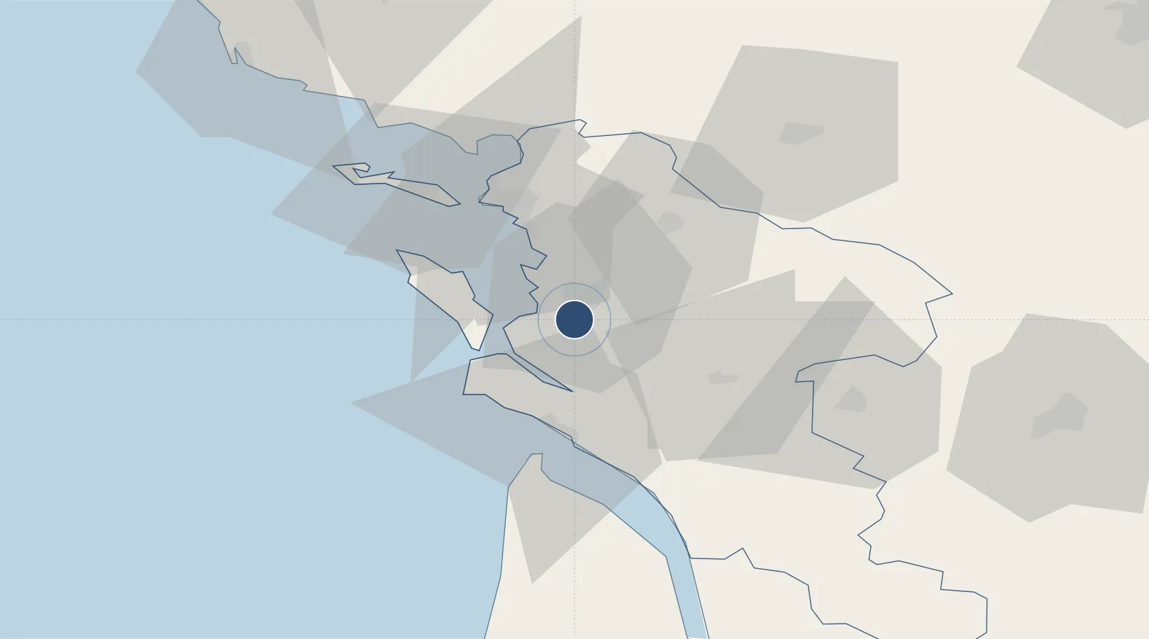
45.8878°, -0.9831°
7,480 ft
Longest runway
1
Runways
60 ft
Elevation

Runway & Layout

Rochefort-Saint-Agnant (BA 721) Airport runway & taxiway layout
Runway & taxiway layout — OpenStreetMap (ODbL) / OurAirports

Radio Frequencies

TWR
119.3 MHz
ROCHEFORT TWR
AFIS
119.3 MHz
ROCHEFORT INFO
OurAirports

Runways · 1

RunwayDimensions SurfaceTrue headingLit
12/30 7,480 × 148ft Asphalt 123°
OurAirports

Airport Specifications

IATA code
RCO
OurAirports
ICAO code
LFDN
OurAirports
Airport class
Medium airport
OurAirports
Scheduled service
No
OurAirports
Runway surface
Asphalt
OurAirports
Served city
Rochefort/Saint-Agnant
OurAirports

Location

Location of LFDN
Natural Earth 10m (public domain) · Charente-Maritime · LFDN · 45.89, -0.98GoogleOSMYandex

Nearby Logistics Neighbours

Airports
  1. 1Royan-Médis Airport29 km
  2. 2La Rochelle Île de Ré Airport36 km
  3. 3Cognac-Châteaubernard (BA 709) Air Base58 km
  4. 4Niort - Marais Poitevin Airport66 km
  5. 5Angoulême Brie-Champniers airport95 km
Nearest neighbours — logibook spatial index (haversine) over the source coordinates
Cities
  1. 1Rochefort7 km
  2. 2Hiers-Brouage8 km
  3. 3Saint-Nazaire-sur-Charente9 km
  4. 4Tonnay-Charente9 km
  5. 5Pont-l'Abbé-d'Arnoult10 km
Nearest neighbours — logibook spatial index (haversine) over the source coordinates
Ports
  1. 1Rochefort6 km
  2. 2Tonnay Charente8 km
  3. 3La Rochelle32 km
  4. 4La Pallice36 km
  5. 5Le Verdon38 km
Nearest neighbours — logibook spatial index (haversine) over the source coordinates
Trade Zones
  1. 1ZFU La Rochelle35 km
  2. 2Port de Bordeaux114 km
  3. 3ZFU Hauts de Garonne122 km
  4. 4ZFU Nantes et Saint-Herblain158 km
  5. 5ZFU Angers180 km
Nearest neighbours — logibook spatial index (haversine) over the source coordinates
DatabookThe Record of Consolidated Knowledge
France beyond logistics?
Browse databook

All Sources

AirportsOurAirports
Public domain
Portsthe NGA World Port Index
Public domain (US gov)
LocationsUN/LOCODE
UN/LOCODE — free
Trade Zonesthe World Bank SEZ database
CC BY 4.0
Trade ZonesOpen Zone Map
CC BY
InfrastructureOpenStreetMap
ODbL 1.0
← France airports