Medium airport · France

La Rochelle Île de Ré AirportLFBH
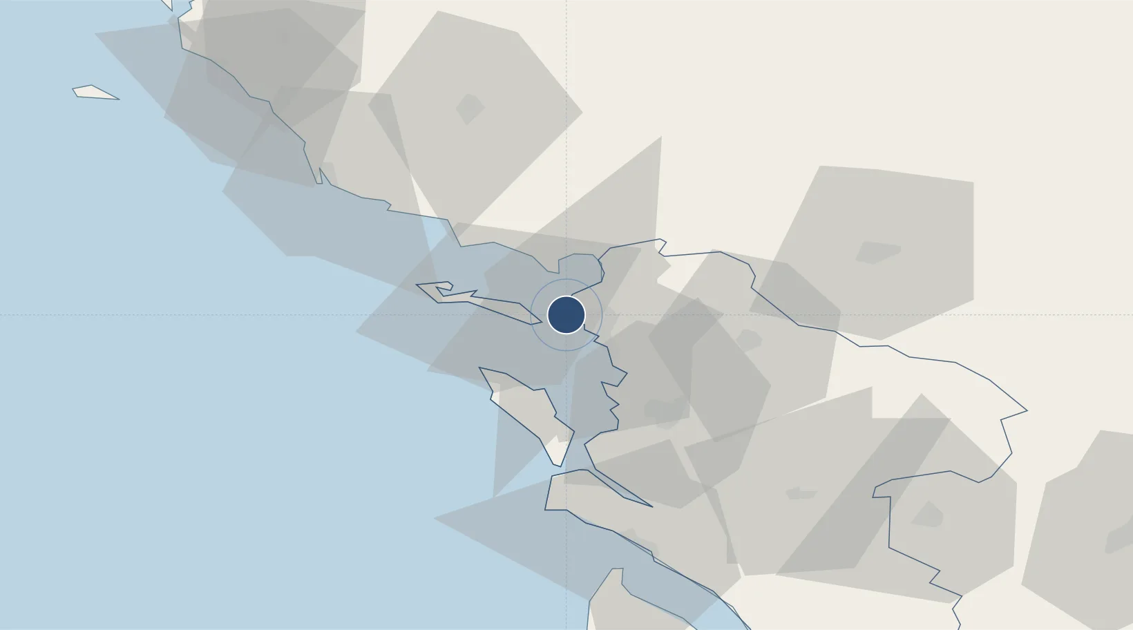
46.1792°, -1.1953°
7,398 ft
Longest runway
1
Runways
74 ft
Elevation

Runway & Layout

La Rochelle Île de Ré Airport runway & taxiway layout
Runway & taxiway layout — OpenStreetMap (ODbL) / OurAirports

Radio Frequencies

ATIS
126.875 MHz
LA ROCHELLE ATIS
TWR
118 MHz
LA ROCHELLE TWR
APP
124.2 MHz
LA ROCHELLE APP
OurAirports

Runways · 1

RunwayDimensions SurfaceTrue headingLit
09/27 7,398 × 148ft Asphalt 093°
OurAirports

Airport Specifications

IATA code
LRH
OurAirports
ICAO code
LFBH
OurAirports
Airport class
Medium airport
OurAirports
Scheduled service
Yes
OurAirports
Runway surface
Asphalt
OurAirports
Served city
La Rochelle
OurAirports

Location

Location of LFBH
Natural Earth 10m (public domain) · Charente-Maritime · LFBH · 46.18, -1.20GoogleOSMYandex

Nearby Logistics Neighbours

Airports
  1. 1Rochefort-Saint-Agnant (BA 721) Airport36 km
  2. 2La Roche-sur-Yon Les Ajoncs Airport60 km
  3. 3Niort - Marais Poitevin Airport63 km
  4. 4Royan-Médis Airport64 km
  5. 5Cognac-Châteaubernard (BA 709) Air Base89 km
Nearest neighbours — logibook spatial index (haversine) over the source coordinates
Cities
  1. 1la Pallice2 km
  2. 2La Rochelle3 km
  3. 3Aytré9 km
  4. 4Périgny9 km
  5. 5Esnandes12 km
Nearest neighbours — logibook spatial index (haversine) over the source coordinates
Ports
  1. 1La Pallice2 km
  2. 2La Rochelle5 km
  3. 3Rochefort33 km
  4. 4Tonnay Charente36 km
  5. 5Les Sables D' Olonne59 km
Nearest neighbours — logibook spatial index (haversine) over the source coordinates
Trade Zones
  1. 1ZFU La Rochelle2 km
  2. 2ZFU Nantes et Saint-Herblain123 km
  3. 3ZFU Saint-Nazaire147 km
  4. 4Port de Bordeaux150 km
  5. 5ZFU Angers152 km
Nearest neighbours — logibook spatial index (haversine) over the source coordinates
DatabookThe Record of Consolidated Knowledge
France beyond logistics?
Browse databook

All Sources

AirportsOurAirports
Public domain
Portsthe NGA World Port Index
Public domain (US gov)
LocationsUN/LOCODE
UN/LOCODE — free
Trade Zonesthe World Bank SEZ database
CC BY 4.0
Trade ZonesOpen Zone Map
CC BY
InfrastructureOpenStreetMap
ODbL 1.0
← France airports