Medium airport · France

Royan-Médis AirportLFCY
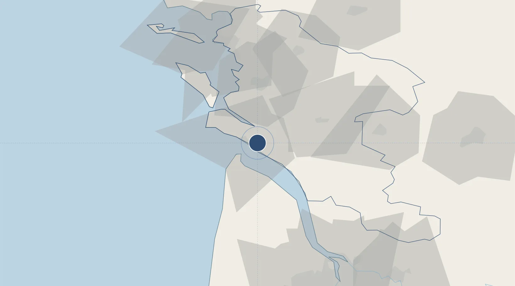
45.6281°, -0.9725°
4,117 ft
Longest runway
1
Runways
72 ft
Elevation

Runway & Layout

Royan-Médis Airport runway & taxiway layout
Runway & taxiway layout — OpenStreetMap (ODbL) / OurAirports

Radio Frequencies

APP
118.6 MHz
AQUITAINE APP
AFIS
118.8 MHz
ROYAN INFO
OurAirports

Runways · 1

RunwayDimensions SurfaceTrue headingLit
10/28 4,117 × 98ft Asphalt 102°
OurAirports

Airport Specifications

IATA code
RYN
OurAirports
ICAO code
LFCY
OurAirports
Airport class
Medium airport
OurAirports
Scheduled service
No
OurAirports
Runway surface
Asphalt
OurAirports
Served city
Royan/Médis
OurAirports

Location

Location of LFCY
Natural Earth 10m (public domain) · Charente-Maritime · LFCY · 45.63, -0.97GoogleOSMYandex

Nearby Logistics Neighbours

Airports
  1. 1Rochefort-Saint-Agnant (BA 721) Airport29 km
  2. 2Cognac-Châteaubernard (BA 709) Air Base51 km
  3. 3La Rochelle Île de Ré Airport64 km
  4. 4Niort - Marais Poitevin Airport88 km
  5. 5Bordeaux–Mérignac Airport91 km
Nearest neighbours — logibook spatial index (haversine) over the source coordinates
Cities
  1. 1Médis2 km
  2. 2Le Chay6 km
  3. 3Royan6 km
  4. 4L'Éguille8 km
  5. 5Mornac-sur-Seudre11 km
Nearest neighbours — logibook spatial index (haversine) over the source coordinates
Ports
  1. 1Le Verdon11 km
  2. 2Rochefort34 km
  3. 3Tonnay Charente34 km
  4. 4Pauillac51 km
  5. 5La Rochelle60 km
Nearest neighbours — logibook spatial index (haversine) over the source coordinates
Trade Zones
  1. 1ZFU La Rochelle62 km
  2. 2Port de Bordeaux87 km
  3. 3ZFU Hauts de Garonne94 km
  4. 4ZFU Nantes et Saint-Herblain186 km
  5. 5ZFU Angers208 km
Nearest neighbours — logibook spatial index (haversine) over the source coordinates
DatabookThe Record of Consolidated Knowledge
France beyond logistics?
Browse databook

All Sources

AirportsOurAirports
Public domain
Portsthe NGA World Port Index
Public domain (US gov)
LocationsUN/LOCODE
UN/LOCODE — free
Trade Zonesthe World Bank SEZ database
CC BY 4.0
Trade ZonesOpen Zone Map
CC BY
InfrastructureOpenStreetMap
ODbL 1.0
← France airports